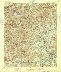
1901 Map of Asheville
USGS Topo · Published 1932About this map
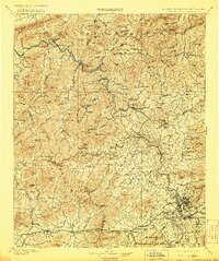
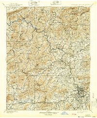
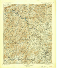
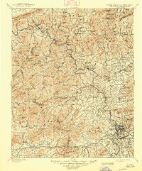
The French Broad River carves a central path through this turn-of-the-century landscape, serving as a primary corridor for the Southern Railway as it winds north toward the State Boundary Line. This topography is dominated by the complex ridges of the Bald Mountains and the Meadow Creek Mountains, where isolated settlements like Sodom and Hot Springs underscore the era’s reliance on river-valley transit and rail connections. The early industrial footprint of Asheville is evident in the southeast, surrounded by outlying communities like West Asheville and Emma. Westward, the map details a rural network of high-elevation gaps and summits such as Max Patch Mt. and Sandymush Bald, providing a clear view of the mountain homesteads and community centers like Leicester and Crabtree before the full consolidation of Pisgah National Forest changed land use patterns in the region.
Find a feature on this map
129 named features on this map. Tap any name to fly to it.
Don’t see what you’re looking for? This feature index may not catch every label — zoom into the map to look around manually.
Map Details
Editions of this 1901 Asheville Map
9 editions found

Other maps of this area

1883 · Morristown
USGS Topo · 1:125,000

1891 · Cowee
USGS Topo · 1:125,000

1891 · Roan Mountain
USGS Topo · 1:125,000

1892 · Greeneville
USGS Topo · 1:125,000

1893 · Mt Guyot
USGS Topo · 1:125,000

1893 · Morristown
USGS Topo · 1:125,000

1894 · Asheville
USGS Topo · 1:125,000

1894 · Roan Mountain
USGS Topo · 1:125,000

1895 · Morristown
USGS Topo · 1:125,000

1896 · Greeneville
USGS Topo · 1:125,000