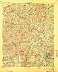
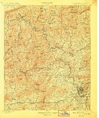
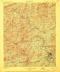
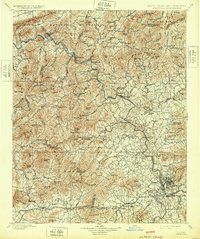
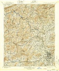
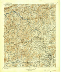
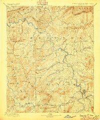
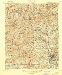
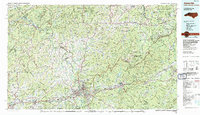
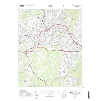
1901 Map of Asheville
USGS Topo · Published 1904About this map
The French Broad River carves a winding path through the Blue Ridge, serving as the primary corridor for the Southern RR and Knoxville and Asheville RR at the turn of the century. This rugged mountain landscape is dotted with early Appalachian settlements like Hot Springs, Mars Hill, and Weaverville, which thrived as trade and travel hubs before the age of modern highways. The survey captures a world of steep ridges and isolated knobs, from Max Patch Mt on the western edge to the heights of Sandymush Bald and the Meadow Creek Mountains. Genealogists will find interest in the numerous small communities and rural stations, such as Bailey Sta, Fuzzland, and Stocksville, many of which were defined by their proximity to the rail lines and mountain gaps that provided the only passage through this complex terrain.
Find a feature on this map
162 named features on this map. Tap any name to fly to it.
Don’t see what you’re looking for? This feature index may not catch every label — zoom into the map to look around manually.
Map Details
Editions of this 1901 Asheville Map
9 editions found


Historical Maps of Asheville Through Time
12 maps found
1894 Asheville
Buncombe County, NC
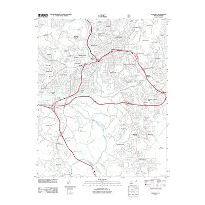
1901 Asheville
Buncombe County, NC
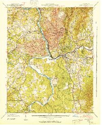
1936 Asheville
Buncombe County, NC
1943 Asheville
Buncombe County, NC
1961 Asheville
Buncombe County, NC
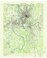
1976 Asheville
Buncombe County, NC
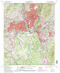
1985 Asheville
Buncombe County, NC
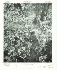
2011 Asheville
Buncombe County, NC
2013 Asheville
Buncombe County, NC
2016 Asheville
Buncombe County, NC
2019 Asheville
Buncombe County, NC
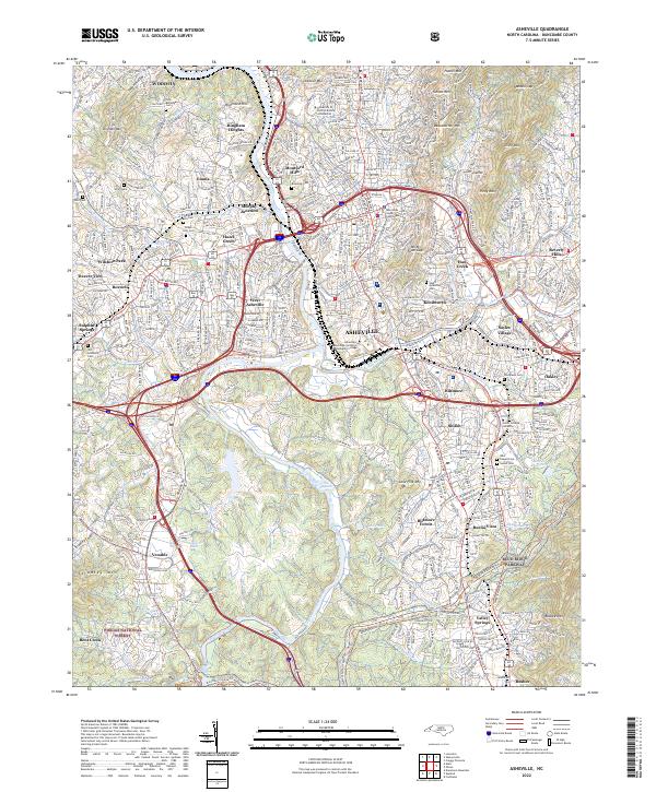
2022 Asheville
Buncombe County, NC