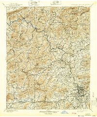
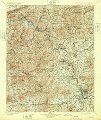
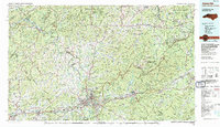
1901 Map of Asheville
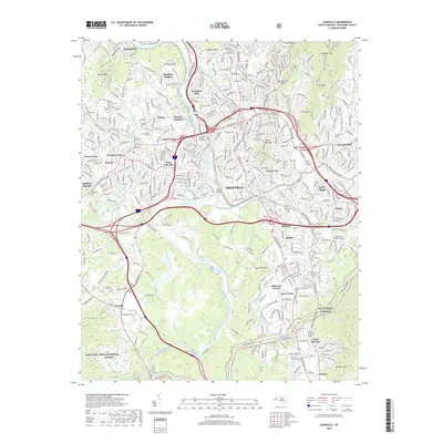
USGS Topo · Published 1939About this map
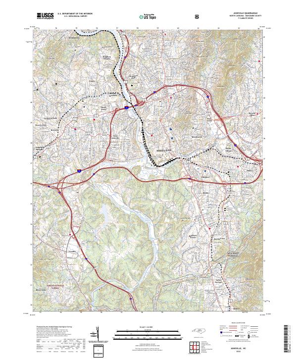
Asheville stands as the central hub in this survey conducted before the turn of the century, situated at the confluence of the French Broad River and Swannanoa River. The Southern Railway follows the tight corridor of the French Broad, threading through riverfront settlements like Marshall, Alexander, and Stackhouse. This transport network was vital for the region's early industry and tourism, particularly for the resort town of Hot Springs near the Tennessee border.
Find a feature on this map
129 named features on this map. Tap any name to fly to it.
Don’t see what you’re looking for? This feature index may not catch every label — zoom into the map to look around manually.
Map Details
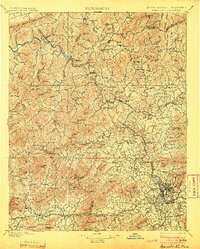
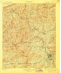
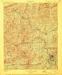
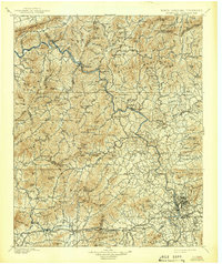
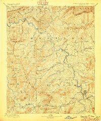
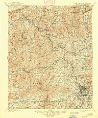
Editions of this 1901 Asheville Map
9 editions found


Historical Maps of Asheville Through Time
12 maps found
1894 Asheville
Buncombe County, NC
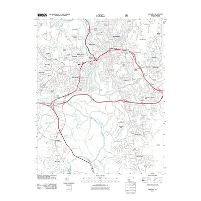
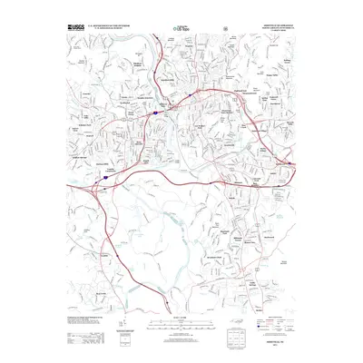
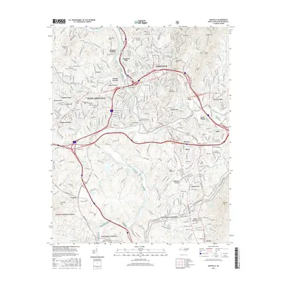
1901 Asheville
Buncombe County, NC
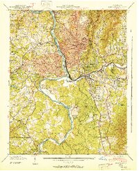
1936 Asheville
Buncombe County, NC
1943 Asheville
Buncombe County, NC
1961 Asheville
Buncombe County, NC
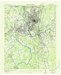
1976 Asheville
Buncombe County, NC
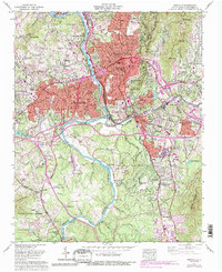
1985 Asheville
Buncombe County, NC
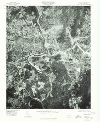
2011 Asheville
Buncombe County, NC
2013 Asheville
Buncombe County, NC
2016 Asheville
Buncombe County, NC
2019 Asheville
Buncombe County, NC
2022 Asheville
Buncombe County, NC