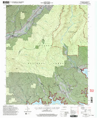
1994 Map of Ashford
USGS Topo · Published 1998About this map
Linville Gorge Wilderness and the Pisgah National Forest dominate this landscape where the North Fork Catawba River and Linville River carve deep routes toward the reservoir. The terrain is defined by prominent peaks like Shortoff Mountain and the Pinnacle, which tower over the surrounding valleys. Human settlement is concentrated in small communities such as Ashford and North Cove in the northwest, and Longtown near the shore of Lake James in the southeast.
Find a feature on this map
45 named features on this map. Tap any name to fly to it.
Don’t see what you’re looking for? This feature index may not catch every label — zoom into the map to look around manually.
Map Details
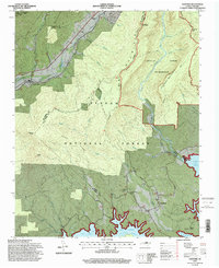
Editions of this 1994 Ashford Map
2 editions found
Other maps of this area

1900 · Mount Mitchell
USGS Topo · 1:125,000

1902 · Mount Mitchell
USGS Topo · 1:125,000

1905 · Morganton
USGS Topo · 1:125,000

1934 · Spruce Pine
USGS Topo · 1:24,000

1934 · Linville Falls
USGS Topo · 1:24,000

1953 · Charlotte
USGS Topo · 1:250,000

1954 · Charlotte
USGS Topo · 1:250,000

1955 · Knoxville
USGS Topo · 1:250,000

1956 · Oak Hill
USGS Topo · 1:24,000

1956 · Ashford
USGS Topo · 1:24,000