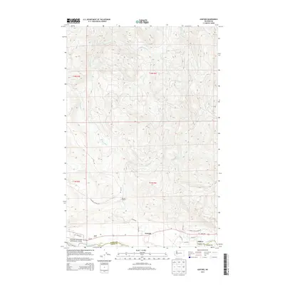
2014 Map of Ashford
USGS Topo · Published 2014About this map
Ashford and the adjacent settlement of National serve as the primary gateways to the southwest entrance of Mount Rainier National Park on this 2014 survey. The landscape is defined by the powerful drainage of the Nisqually River, which forms the boundary between Pierce and Lewis counties. North of the river, the terrain is etched by a dense network of tributaries including Busy Wild Cr, Beaver Cr, and the Mashel River. The map highlights the transition from residential clusters like Tahoma Woods to the managed wilderness of the Elbe Hills Trailhead. Local infrastructure is concentrated along Wa-706 and Mount Tahoma Canyon Rd, reflecting the area's role as a vital corridor for park access and mountain recreation. The intricate contour lines reveal the steep, deeply dissected ridges of the southern Cascades, where numerous creeks such as Niesson Cr and Big Cr cut through the forest.
Find a feature on this map
27 named features on this map. Tap any name to fly to it.
Don’t see what you’re looking for? This feature index may not catch every label — zoom into the map to look around manually.
Map Details
Editions of this 2014 Ashford Map
This is the sole edition of this map. No revisions or reprints were ever made.
Other maps of this area

1924 · Mt Rainier
USGS Topo · 1:96,000

1928 · Mt Rainier
USGS Topo · 1:125,000

1937 · Eatonville
USGS Topo · 1:125,000

1950 · Yakima
USGS Topo · 1:250,000

1953 · Hoquiam
USGS Topo · 1:250,000

1956 · Mineral
USGS Topo · 1:62,500

1956 · Kapowsin
USGS Topo · 1:62,500

1957 · Hoquiam
USGS Topo · 1:250,000

1958 · Yakima
USGS Topo · 1:250,000

1958 · Hoquiam
USGS Topo · 1:250,000