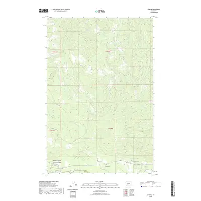
2020 Map of Ashford
USGS Topo · Published 2020About this map
Ashford and the nearby settlement of National anchor this 2020 map, situated along the northern banks of the Nisqually River as it flows out of the mountains. The southern edge of the map identifies the boundary for Mount Rainier National Park, marking the transition into one of the state's most significant natural preserves. The landscape is defined by a dense network of watercourses, including the Mashel River, Niesson Cr, and Busy Wild Cr, which carve through the elevations north of the river valley. Key transportation arteries like Mount Tahoma Canyon Rd and Eatonville National Rd provide access through the timbered sections of Pierce County. The map also captures the Pierce Co Lewis Co border, showing the intersection of local roads and natural drainage systems that have historically supported the area's logging and gateway-tourism economies.
Find a feature on this map
22 named features on this map. Tap any name to fly to it.
Don’t see what you’re looking for? This feature index may not catch every label — zoom into the map to look around manually.
Map Details
Editions of this 2020 Ashford Map
This is the sole edition of this map. No revisions or reprints were ever made.
Other maps of this area

1924 · Mt Rainier
USGS Topo · 1:96,000

1928 · Mt Rainier
USGS Topo · 1:125,000

1937 · Eatonville
USGS Topo · 1:125,000

1950 · Yakima
USGS Topo · 1:250,000

1953 · Hoquiam
USGS Topo · 1:250,000

1956 · Mineral
USGS Topo · 1:62,500

1956 · Kapowsin
USGS Topo · 1:62,500

1957 · Hoquiam
USGS Topo · 1:250,000

1958 · Yakima
USGS Topo · 1:250,000

1958 · Hoquiam
USGS Topo · 1:250,000