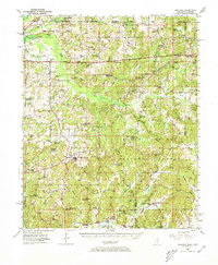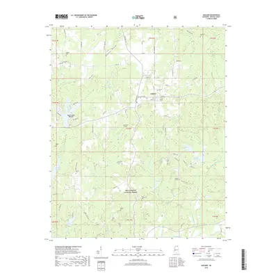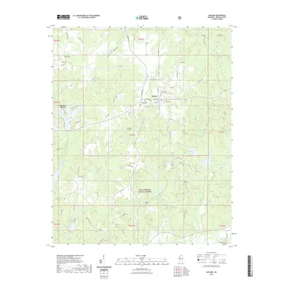
1982 Map of Ashland
USGS Topo · Published 1983About this map
Ashland sits at the heart of this Benton County survey, serving as a hub for the surrounding upland landscape. The northern half of the quadrangle is defined by the broad Robinson Bottom and the presence of numerous small-scale industrial sites, notably several Sandpit and Sandpits excavations near Big Snow Lake. For local historians, the map preserves the locations of vital community institutions like the Gray Academy and the Old Salem Sch, alongside numerous country churches including Macedonia Ch and South Ashland Ch.
Find a feature on this map
46 named features on this map. Tap any name to fly to it.
Don’t see what you’re looking for? This feature index may not catch every label — zoom into the map to look around manually.
Map Details
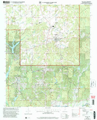
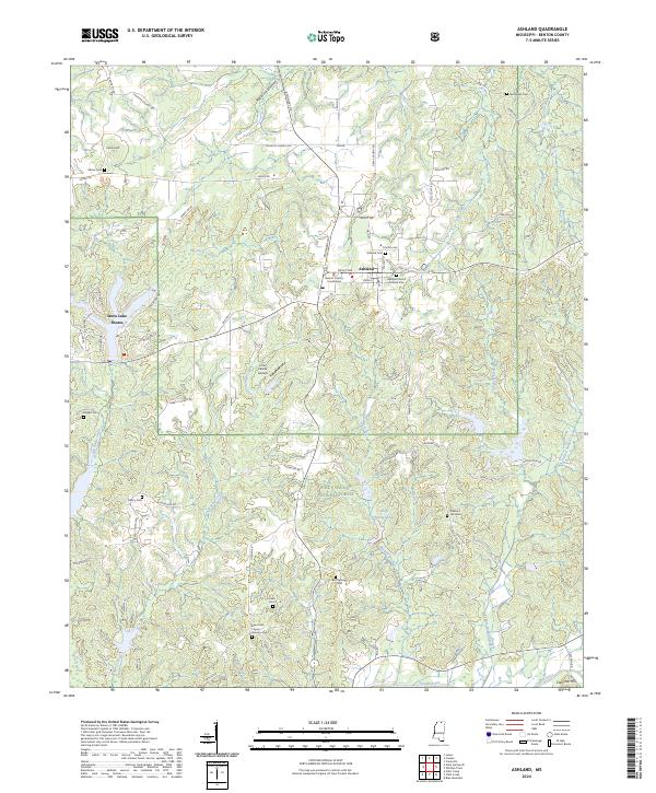
Editions of this 1982 Ashland Map
This is the sole edition of this map. No revisions or reprints were ever made.
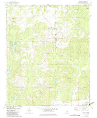
Historical Maps of Ashland Through Time
8 maps found