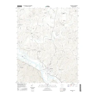
2016 Map of Ashland City
USGS Topo · Published 2016About this map
The Cumberland River carves a deep path through Cheatham County, serving as the central geographic anchor for Ashland City. This modern survey illustrates the persistent rural character of the region, where family-named cemeteries and small settlements like Bethlehem, Sycamore, and Lockertsville remain tied to the landscape. The river's influence is evident in the complex drainage network of Sycamore Creek, Big Bluff Creek, and Little Bluff Creek, which have sculpted the surrounding terrain into distinctive landmarks such as Whisky Hill and Slick Hollow.
Find a feature on this map
146 named features on this map. Tap any name to fly to it.
Don’t see what you’re looking for? This feature index may not catch every label — zoom into the map to look around manually.
Map Details
Editions of this 2016 Ashland City Map
This is the sole edition of this map. No revisions or reprints were ever made.
Other maps of this area

1903 · Nashville
USGS Topo · 1:125,000

1930 · White Bluff
USGS Topo · 1:62,500

1931 · Ridgetop
USGS Topo · 1:62,500

1932 · Nashville
USGS Topo · 1:62,500

1933 · White Bluff
USGS Topo · 1:62,500

1935 · Ridgetop
USGS Topo · 1:62,500

1955 · Forest Grove
USGS Topo · 1:24,000

1955 · Scottsboro
USGS Topo · 1:24,000

1956 · Nashville
USGS Topo · 1:250,000

1957 · Cheatham Dam
USGS Topo · 1:24,000