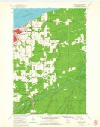
1964 Map of Ashland East
USGS Topo · Published 1965About this map
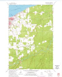
Ashland sits at the western edge of this 1964 topographic study, serving as a gateway between the waters of Chequamegon Bay and the wooded interior of the Bad River Indian Reservation. The city's mid-century footprint is characterized by institutional anchors like Northland College and the County Teachers College, alongside industrial infrastructure including the Chicago and North Western and Soo Line railroads. The map highlights a coastal community where civic life, represented by Hodgkins Park and several local schools, meets the natural drainage of Beartrap Creek and the Little White River.
Find a feature on this map
31 named features on this map. Tap any name to fly to it.
Don’t see what you’re looking for? This feature index may not catch every label — zoom into the map to look around manually.
Map Details
Editions of this 1964 Ashland East Map
2 editions found
Other maps of this area

1942 · Ashland
USGS Topo · 1:48,000

1942 · Mellen
USGS Topo · 1:48,000

1942 · Marengo
USGS Topo · 1:48,000

1943 · Odanah
USGS Topo · 1:48,000

1945 · Odanah
USGS Topo · 1:48,000

1945 · Marengo
USGS Topo · 1:48,000

1945 · Mellen
USGS Topo · 1:48,000

1947 · Ashland
USGS Topo · 1:48,000

1953 · Ashland
USGS Topo · 1:250,000

1958 · Ashland
USGS Topo · 1:250,000