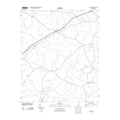
2011 Map of Ashland
USGS Topo · Published 2011About this map
Cromers Mill Covered Bridge spans the southern reaches of this landscape near the small community of Cromers. The terrain is defined by the winding paths of the Hudson River and Middle Fork Broad River, which are fed by numerous tributaries such as Nails Creek, Carlan Creek, and Indian Creek. These waterways dictate the local road network, which connects rural settlements like Ashland, Erastus, and Plainview. For genealogists, the map identifies family-related sites and burial grounds, including Ebenezer Cemetery and Hebron Cemetery. The presence of Alston Lake and its associated Alston Dam highlights the intersection of natural drainage and modern water management. This area maintains its agricultural and rural character, with many roads named for early resident families such as Shepard Rd, Gulpepper Rd, and McKie Rd.
Find a feature on this map
81 named features on this map. Tap any name to fly to it.
Don’t see what you’re looking for? This feature index may not catch every label — zoom into the map to look around manually.
Map Details
Editions of this 2011 Ashland Map
This is the sole edition of this map. No revisions or reprints were ever made.
Other maps of this area

1891 · Carnesville
USGS Topo · 1:125,000

1954 · Greenville
USGS Topo · 1:250,000

1958 · Greenville
USGS Topo · 1:250,000

1958 · Danielsville
USGS Topo · 1:62,500

1959 · Carnesville
USGS Topo · 1:24,000

1960 · Martin
USGS Topo · 1:24,000

1964 · Commerce
USGS Topo · 1:24,000

1964 · Ila
USGS Topo · 1:24,000

1964 · Ashland
USGS Topo · 1:24,000
1964 · Lake Russell
USGS Topo · 1:24,000