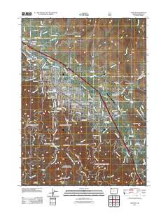
2011 Map of Ashland
USGS Topo · Published 2011About this map
Ashland serves as the focal point of this 2011 survey, situated at the intersection of a complex water management and transportation network. The landscape is defined by the vital Bear Creek and its associated irrigation infrastructure, including the East Lateral, West Lateral, and Ashland Lateral. Cultural and civic history is well-documented through numerous burial grounds such as the Independent Order of Odd Fellows Cemetery and Mount View Cemetery, while the presence of Southern Oregon State University marks the town's role as an educational hub.
Find a feature on this map
117 named features on this map. Tap any name to fly to it.
Don’t see what you’re looking for? This feature index may not catch every label — zoom into the map to look around manually.
Map Details
Editions of this 2011 Ashland Map
This is the sole edition of this map. No revisions or reprints were ever made.
Other maps of this area

1891 · Ashland
USGS Topo · 1:250,000

1893 · Ashland
USGS Topo · 1:250,000

1897 · Ashland
USGS Topo · 1:250,000

1938 · Medford
USGS Topo · 1:125,000

1954 · Medford
USGS Topo · 1:62,500

1954 · Lakecreek
USGS Topo · 1:62,500

1954 · Talent
USGS Topo · 1:62,500

1954 · Ashland
USGS Topo · 1:62,500

1955 · Medford
USGS Topo · 1:250,000

1957 · Medford
USGS Topo · 1:250,000