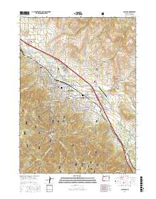
2017 Map of Ashland
USGS Topo · Published 2017About this map
Ashland serves as the focal point of this Jackson County survey, showcasing its development near the Rogue River National Forest. The map documents a blend of academic and scientific institutions, notably the campus of Southern Oregon University and the specialized Clark R Bavin National Fish and Wildlife Forensics Laboratory. For those researching local heritage, the landscape is punctuated by several historic burial grounds including Mountain View Cem, Hargadine Cem, and the Independent Order of Odd Fellows Cem. Water management is prominent through features like the Ashland Lateral, Reeder Reservoir, and La Murre Reservoir. From the heights of Pompadour Bluff to the residential streets of Roca Canyon, the map illustrates a community shaped by its proximity to the rugged Winburn Ridge and the Bear Creek drainage system.
Find a feature on this map
166 named features on this map. Tap any name to fly to it.
Don’t see what you’re looking for? This feature index may not catch every label — zoom into the map to look around manually.
Map Details
Editions of this 2017 Ashland Map
This is the sole edition of this map. No revisions or reprints were ever made.
Other maps of this area

1891 · Ashland
USGS Topo · 1:250,000

1893 · Ashland
USGS Topo · 1:250,000

1897 · Ashland
USGS Topo · 1:250,000

1938 · Medford
USGS Topo · 1:125,000

1954 · Medford
USGS Topo · 1:62,500

1954 · Lakecreek
USGS Topo · 1:62,500

1954 · Talent
USGS Topo · 1:62,500

1954 · Ashland
USGS Topo · 1:62,500

1955 · Medford
USGS Topo · 1:250,000

1957 · Medford
USGS Topo · 1:250,000