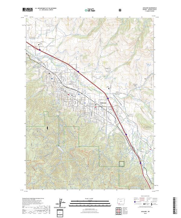
2024 Map of Ashland
USGS Topo · Published 2024About this map
The city of Ashland sits at the base of the Siskiyou Mountains, serving as a significant educational and scientific hub for Jackson County. This contemporary survey shows the campus of Southern Oregon University and the specialized Clark R Bavin National Fish and Wildlife Forensics Laboratory on the city's eastern edge. The landscape is defined by the transition from the valley floor, where Bear Creek flows toward Billings Reservoir, to the steep drainages of the Rogue River National Forest.
Find a feature on this map
91 named features on this map. Tap any name to fly to it.
Don’t see what you’re looking for? This feature index may not catch every label — zoom into the map to look around manually.
Map Details
Editions of this 2024 Ashland Map
This is the sole edition of this map. No revisions or reprints were ever made.
Other maps of this area

1891 · Ashland
USGS Topo · 1:250,000

1893 · Ashland
USGS Topo · 1:250,000

1897 · Ashland
USGS Topo · 1:250,000

1938 · Medford
USGS Topo · 1:125,000

1954 · Medford
USGS Topo · 1:62,500

1954 · Lakecreek
USGS Topo · 1:62,500

1954 · Talent
USGS Topo · 1:62,500

1954 · Ashland
USGS Topo · 1:62,500

1955 · Medford
USGS Topo · 1:250,000

1957 · Medford
USGS Topo · 1:250,000