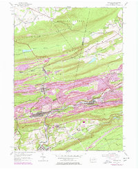
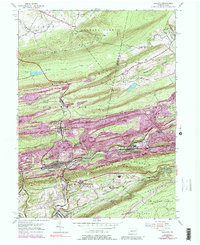
1953 Map of Ashland
USGS Topo · Published 1978About this map
Centralia and the surrounding anthracite coal country are depicted here during a pivotal era of transition, documented across 1953 fieldwork and photorevisions from the late 1960s and mid-1970s. The landscape is defined by the heavy footprint of industry, characterized by extensive Mine Dumps and tailings that crowd the valley floors alongside Mahanoy Creek and Shenandoah Creek. The urban layout of Ashland and Girardville reveals a dense network of residential streets and rail lines, including the Conrail system, reflecting the area's role as a production hub. Higher elevations along Locust Mountain and Conyngham Mountain provide a stark contrast to the industrial valleys. Notable local landmarks such as the Centralia Fire Tower, Miners Hospital, and the Immaculate Heart Academy serve as vital community anchors. Smaller settlements like Byrnsville, Locustdale, and Lavelle are clearly delineated, offering genealogists and local historians a precise look at the built environment before later landscape changes.
Find a feature on this map
41 named features on this map. Tap any name to fly to it.
Don’t see what you’re looking for? This feature index may not catch every label — zoom into the map to look around manually.
Map Details
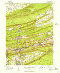
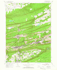
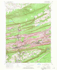
Editions of this 1953 Ashland Map
5 editions found
Other maps of this area

1889 · Catawissa
USGS Topo · 1:62,500

1889 · Pottsville
USGS Topo · 1:62,500

1891 · Pottsville
USGS Topo · 1:62,500

1892 · Catawissa
USGS Topo · 1:62,500

1892 · Mahanoy
USGS Topo · 1:62,500

1892 · Pine Grove
USGS Topo · 1:62,500

1893 · Mahanoy
USGS Topo · 1:62,500

1894 · Catawissa
USGS Topo · 1:62,500

1944 · Pottsville
USGS Topo · 1:24,000

1947 · Ashland
USGS Topo · 1:24,000