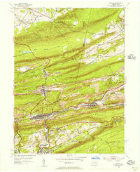
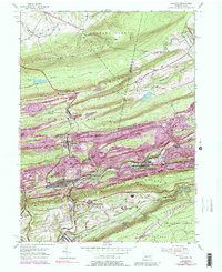
1953 Map of Ashland
USGS Topo · Published 1956About this map
The Mahanoy Valley serves as the industrial corridor for this 1953 survey, dominated by the anthracite-rich landscapes of the Ashland and Girardville areas. Large mine dumps and tailings flank the settlements of Centralia and Aristes, illustrating the heavy imprint of coal extraction on the terrain between Locust Mountain and Broad Mountain. The transportation network is defined by the competing lines of the Reading and Lehigh Valley railroads, which thread through narrow gaps to service the collieries.
Find a feature on this map
45 named features on this map. Tap any name to fly to it.
Don’t see what you’re looking for? This feature index may not catch every label — zoom into the map to look around manually.
Map Details
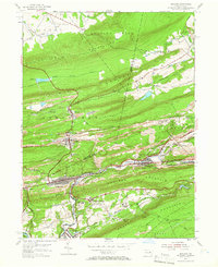
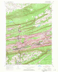
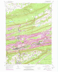
Editions of this 1953 Ashland Map
5 editions found
Other maps of this area

1889 · Catawissa
USGS Topo · 1:62,500

1889 · Pottsville
USGS Topo · 1:62,500

1891 · Pottsville
USGS Topo · 1:62,500

1892 · Catawissa
USGS Topo · 1:62,500

1892 · Mahanoy
USGS Topo · 1:62,500

1892 · Pine Grove
USGS Topo · 1:62,500

1893 · Mahanoy
USGS Topo · 1:62,500

1894 · Catawissa
USGS Topo · 1:62,500

1944 · Pottsville
USGS Topo · 1:24,000

1947 · Ashland
USGS Topo · 1:24,000