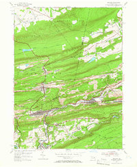
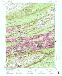
1953 Map of Ashland
USGS Topo · Published 1966About this map
The industrial heart of the Pennsylvania Anthracite Region is defined here by the deep incisions of Mahanoy Creek and the heavy footprint of the coal industry. In this mid-century survey, the borough of Centralia is shown in its era of peak physical density, prior to the environmental crisis that would later redefine the town. The landscape is heavily marked by the region's primary economy, featuring extensive mine dumps, tailings, and the Big Mine Run works.
Find a feature on this map
46 named features on this map. Tap any name to fly to it.
Don’t see what you’re looking for? This feature index may not catch every label — zoom into the map to look around manually.
Map Details
Editions of this 1953 Ashland Map
5 editions found
Other maps of this area

1889 · Catawissa
USGS Topo · 1:62,500

1889 · Pottsville
USGS Topo · 1:62,500

1891 · Pottsville
USGS Topo · 1:62,500

1892 · Catawissa
USGS Topo · 1:62,500

1892 · Mahanoy
USGS Topo · 1:62,500

1892 · Pine Grove
USGS Topo · 1:62,500

1893 · Mahanoy
USGS Topo · 1:62,500

1894 · Catawissa
USGS Topo · 1:62,500

1944 · Pottsville
USGS Topo · 1:24,000

1947 · Ashland
USGS Topo · 1:24,000