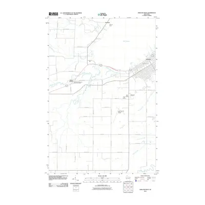
2010 Map of Ashland West
USGS Topo · Published 2010About this map
The western edges of Ashland meet the southern shore of Lake Superior in this northern Wisconsin survey. The landscape is defined by the convergence of several waterways, including Whittlesey Creek, North Fish Creek, and South Fish Creek, which flow toward the bay near Wyman Point. Settlement is concentrated in the northeast at Ashland, where the Ashland Post Office serves the community, and at the rail-adjacent Ashland Junction.
Find a feature on this map
50 named features on this map. Tap any name to fly to it.
Don’t see what you’re looking for? This feature index may not catch every label — zoom into the map to look around manually.
Map Details
Editions of this 2010 Ashland West Map
This is the sole edition of this map. No revisions or reprints were ever made.
Other maps of this area

1942 · Ashland
USGS Topo · 1:48,000

1942 · Marengo
USGS Topo · 1:48,000

1944 · Moquah
USGS Topo · 1:48,000

1944 · Grandview
USGS Topo · 1:48,000

1945 · Marengo
USGS Topo · 1:48,000

1947 · Moquah
USGS Topo · 1:48,000

1947 · Ashland
USGS Topo · 1:48,000

1947 · Grandview
USGS Topo · 1:48,000

1953 · Ashland
USGS Topo · 1:250,000

1958 · Ashland
USGS Topo · 1:250,000