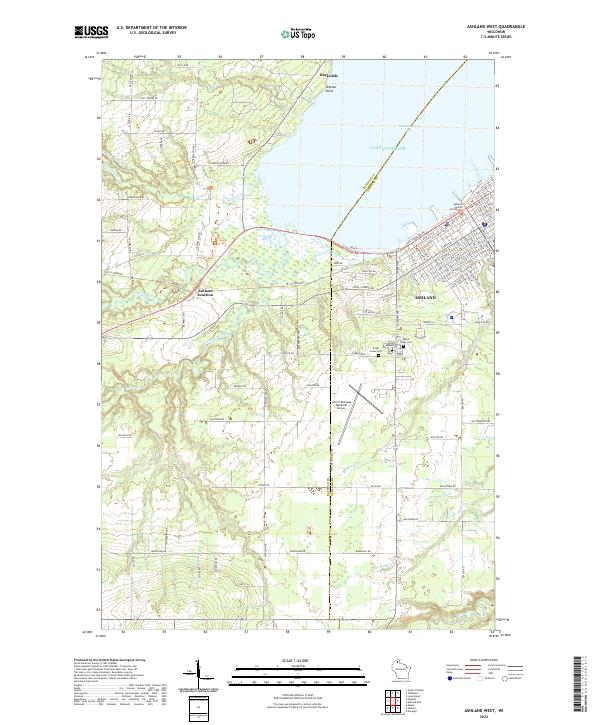
2022 Map of Ashland West
USGS Topo · Published 2022About this map
Ashland and the surrounding coastal landscape of Chequamegon Bay are defined by the convergence of major waterways and protected wetlands. The western edge of the city features the Ashland County Courthouse and serves as a transition to the preserved lands of the Whittlesey Creek National Wildlife Refuge. This conservation area protects the mouth of Whittlesey Cr as it enters Lake Superior, highlighting the region's environmental focus.
Find a feature on this map
115 named features on this map. Tap any name to fly to it.
Don’t see what you’re looking for? This feature index may not catch every label — zoom into the map to look around manually.
Map Details
Editions of this 2022 Ashland West Map
This is the sole edition of this map. No revisions or reprints were ever made.
Other maps of this area

1942 · Ashland
USGS Topo · 1:48,000

1942 · Marengo
USGS Topo · 1:48,000

1944 · Moquah
USGS Topo · 1:48,000

1944 · Grandview
USGS Topo · 1:48,000

1945 · Marengo
USGS Topo · 1:48,000

1947 · Moquah
USGS Topo · 1:48,000

1947 · Ashland
USGS Topo · 1:48,000

1947 · Grandview
USGS Topo · 1:48,000

1953 · Ashland
USGS Topo · 1:250,000

1958 · Ashland
USGS Topo · 1:250,000