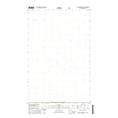
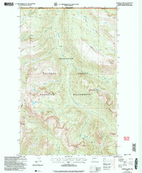
2017 Map of Ashnola Mountain OE N
USGS Topo · Published 2017About this map
The Canada/United States of America international border defines the southern edge of this map, which documents a remote section of the borderlands north of the Washington state line. This 2017 study illustrates the complex drainage networks and high-altitude topography of the Similkameen region just before it crosses into the United States. While the map is predominantly a study of natural hydrography and terrain, the distinct line of the international boundary serves as a primary reference point for researchers tracing the historical demarcation of the 49th parallel. The lack of modern road infrastructure and settlements depicted highlights the wilderness character of this specific quadrant of British Columbia during the early 21st century.
Find a feature on this map
1 named feature on this map. Tap any name to fly to it.
Don’t see what you’re looking for? This feature index may not catch every label — zoom into the map to look around manually.
Map Details
Editions of this 2017 Ashnola Mountain OE N Map
This is the sole edition of this map. No revisions or reprints were ever made.
Other maps of this area

1920 · Slate Pass
USGS Topo · 1:125,000

1955 · Concrete
USGS Topo · 1:250,000

1958 · Concrete
USGS Topo · 1:250,000

1962 · Concrete
USGS Topo · 1:250,000
1969 · Ashnola Mtn
USGS Topo · 1:24,000

1969 · Tatoosh Buttes
USGS Topo · 1:24,000

1969 · Ashnola Pass
USGS Topo · 1:24,000
2002 · Ashnola Mountain
USGS Topo · 1:24,000
2002 · Tatoosh Buttes
USGS Topo · 1:24,000
2002 · Ashnola Pass
USGS Topo · 1:24,000