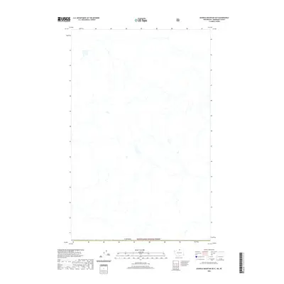
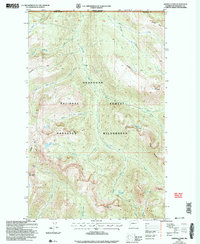
2020 Map of Ashnola Mountain OE N
USGS Topo · Published 2020About this map
Canada and the northern edge of the Mount Baker National Forest intersect in this remote high-country terrain. The landscape is defined by an intricate network of unnamed drainage systems and mountain headwaters, illustrating the raw topography of the border region before these waters flow into larger systems. While largely devoid of named settlements or man-made landmarks, the map provides a precise look at the international boundary and the protected federal lands of the Mount Baker National Forest as they existed in the early twenty-first century.
Find a feature on this map
2 named features on this map. Tap any name to fly to it.
Don’t see what you’re looking for? This feature index may not catch every label — zoom into the map to look around manually.
Map Details
Editions of this 2020 Ashnola Mountain OE N Map
This is the sole edition of this map. No revisions or reprints were ever made.
Other maps of this area

1920 · Slate Pass
USGS Topo · 1:125,000

1955 · Concrete
USGS Topo · 1:250,000

1958 · Concrete
USGS Topo · 1:250,000

1962 · Concrete
USGS Topo · 1:250,000
1969 · Ashnola Mtn
USGS Topo · 1:24,000

1969 · Tatoosh Buttes
USGS Topo · 1:24,000

1969 · Ashnola Pass
USGS Topo · 1:24,000
2002 · Ashnola Mountain
USGS Topo · 1:24,000
2002 · Tatoosh Buttes
USGS Topo · 1:24,000
2002 · Ashnola Pass
USGS Topo · 1:24,000