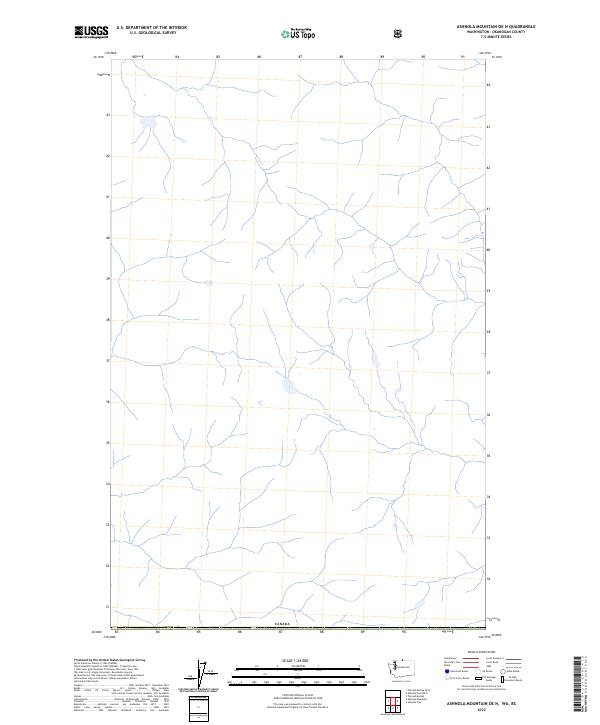
2023 Map of Ashnola Mountain OE N
USGS Topo · Published 2023About this map
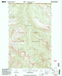
The northern boundary of the United States meets Canada in this high-altitude drainage basin within the Okanogan region. This 2023 survey focuses on the complex hydrography of the high country, where numerous unnamed tributaries form a dense dendritic network of mountain streams. The absence of roads, settlements, or structures reflects the protected wilderness character of the Forest Service lands in this remote section of Washington. For researchers, the map provides a contemporary baseline of the natural water systems and topography at the international border, showing the land exactly as it is managed by the Canada and United States authorities today.
Find a feature on this map
1 named feature on this map. Tap any name to fly to it.
Don’t see what you’re looking for? This feature index may not catch every label — zoom into the map to look around manually.
Map Details
Editions of this 2023 Ashnola Mountain OE N Map
This is the sole edition of this map. No revisions or reprints were ever made.
Other maps of this area

1920 · Slate Pass
USGS Topo · 1:125,000

1955 · Concrete
USGS Topo · 1:250,000

1958 · Concrete
USGS Topo · 1:250,000

1962 · Concrete
USGS Topo · 1:250,000
1969 · Ashnola Mtn
USGS Topo · 1:24,000

1969 · Tatoosh Buttes
USGS Topo · 1:24,000

1969 · Ashnola Pass
USGS Topo · 1:24,000
2002 · Ashnola Mountain
USGS Topo · 1:24,000
2002 · Tatoosh Buttes
USGS Topo · 1:24,000
2002 · Ashnola Pass
USGS Topo · 1:24,000