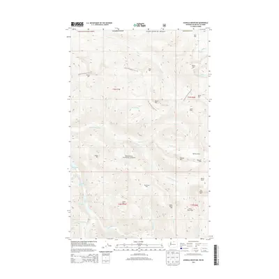
2014 Map of Ashnola Mountain
USGS Topo · Published 2014About this map
Okanogan National Forest encompasses this high-elevation landscape along the Washington-Canada border, where the Pacific NW National Scenic Trail winds through a series of prominent peaks and alpine passes. The drainage network is defined by the E Fork Pasayten River and the Lost River, which carve through the terrain between giants like Ashnola Mtn and Sheep Mtn.
Find a feature on this map
50 named features on this map. Tap any name to fly to it.
Don’t see what you’re looking for? This feature index may not catch every label — zoom into the map to look around manually.
Map Details
Editions of this 2014 Ashnola Mountain Map
This is the sole edition of this map. No revisions or reprints were ever made.
Other maps of this area

1920 · Slate Pass
USGS Topo · 1:125,000

1955 · Concrete
USGS Topo · 1:250,000

1958 · Concrete
USGS Topo · 1:250,000

1962 · Concrete
USGS Topo · 1:250,000

1969 · Lost Peak
USGS Topo · 1:24,000
1969 · Ashnola Mtn
USGS Topo · 1:24,000

1969 · Tatoosh Buttes
USGS Topo · 1:24,000

1969 · Billy Goat Mtn
USGS Topo · 1:24,000

1969 · Ashnola Pass
USGS Topo · 1:24,000
1969 · Mount Lago
USGS Topo · 1:24,000