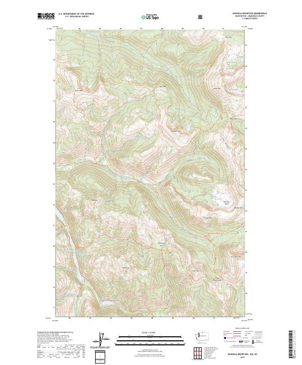
2023 Map of Ashnola Mountain
USGS Topo · Published 2023About this map
Pacific Northwest National Scenic Trl serves as the primary artery through this high-altitude landscape in Okanogan County. The terrain is defined by the headwaters and drainage of the E Fork Pasayten River and the East Fork Pasayten River, which carve deep valleys between prominent peaks like Ashnola Mtn and Quartz Mtn. This area is a significant corridor for wilderness travel, as evidenced by a dense network of routes including the Hidden Lakes Trl, McCall Gulch Trl, and the Stub Creek Trl.
Find a feature on this map
52 named features on this map. Tap any name to fly to it.
Don’t see what you’re looking for? This feature index may not catch every label — zoom into the map to look around manually.
Map Details
Editions of this 2023 Ashnola Mountain Map
This is the sole edition of this map. No revisions or reprints were ever made.
Other maps of this area

1920 · Slate Pass
USGS Topo · 1:125,000

1955 · Concrete
USGS Topo · 1:250,000

1958 · Concrete
USGS Topo · 1:250,000

1962 · Concrete
USGS Topo · 1:250,000

1969 · Lost Peak
USGS Topo · 1:24,000
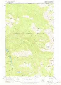
1969 · Ashnola Mtn
USGS Topo · 1:24,000

1969 · Tatoosh Buttes
USGS Topo · 1:24,000

1969 · Billy Goat Mtn
USGS Topo · 1:24,000

1969 · Ashnola Pass
USGS Topo · 1:24,000
1969 · Mount Lago
USGS Topo · 1:24,000