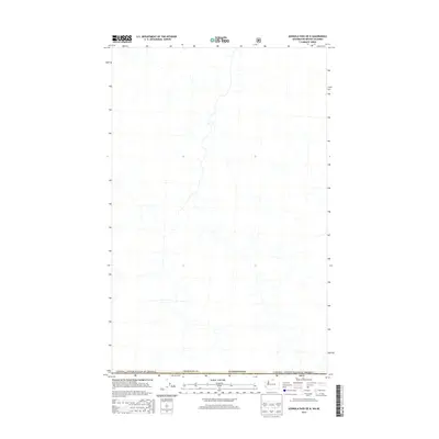
2014 Map of Ashnola Pass OE N
USGS Topo · Published 2014About this map
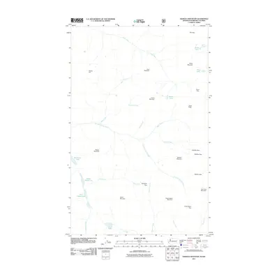
The international border between Canada and the United States of America defines this high-altitude landscape in the mid-2010s. Centered on the northern edge of Okanogan Co in Washington, this survey documents the hydrographic patterns of the Pasayten and Similkameen drainage areas at the 49th parallel. The map highlights the intersection of political boundaries and the natural flow of water across the border, where numerous unnamed tributaries form a dense network of mountain drainages. Produced without contour data, the sheet focuses on the administrative and hydrological layout of this remote section of the Pacific Northwest, providing a clear visualization of the line where British Columbia meets the United States.
Find a feature on this map
3 named features on this map. Tap any name to fly to it.
Don’t see what you’re looking for? This feature index may not catch every label — zoom into the map to look around manually.
Map Details
Editions of this 2014 Ashnola Pass OE N Map
This is the sole edition of this map. No revisions or reprints were ever made.
Other maps of this area

1955 · Concrete
USGS Topo · 1:250,000

1958 · Concrete
USGS Topo · 1:250,000

1962 · Concrete
USGS Topo · 1:250,000

1969 · Remmel Mtn.
USGS Topo · 1:24,000
1969 · Ashnola Mtn
USGS Topo · 1:24,000

1969 · Ashnola Pass
USGS Topo · 1:24,000
2002 · Ashnola Mountain
USGS Topo · 1:24,000
2002 · Ashnola Pass
USGS Topo · 1:24,000
2002 · Remmel Mountain
USGS Topo · 1:24,000
2011 · Ashnola Mountain
USGS Topo · 1:24,000