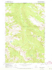
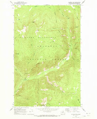
1969 Map of Remmel Mtn.
USGS Topo · Published 1973About this map
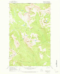
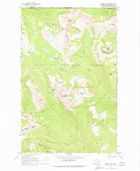
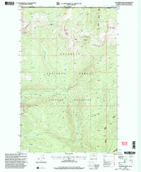
Tungsten Mine sits tucked below Apex Mountain in this high-altitude landscape where the Okanogan National Forest meets the international boundary between the United States and Canada. This 1969 field-checked survey reveals a backcountry defined by steep ridges and glacial basins, including the sharp profiles of Cathedral Peak and Remmel Mtn. The area is a primitive network of high passes and alpine waters, such as Upper Cathedral Lake and Cornwell Lake, serving as the headwaters for the Ashnola River and the Chewack River. The map meticulously tracks several pack trails that navigate the high country of the Pasayten Wilderness, connecting remote points like Andrew Pass and Crazy Man Pass. This documentation captures the wilderness before further modern infrastructure, focusing on the natural topography and the singular industrial presence of the wolframite workings near the British Columbia and Washington border.
Find a feature on this map
52 named features on this map. Tap any name to fly to it.
Don’t see what you’re looking for? This feature index may not catch every label — zoom into the map to look around manually.
Map Details
Editions of this 1969 Remmel Mtn. Map
2 editions found
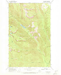
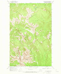
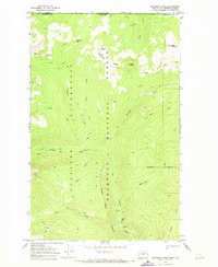
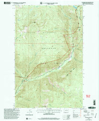
Other maps of this area

1955 · Concrete
USGS Topo · 1:250,000

1958 · Concrete
USGS Topo · 1:250,000

1962 · Concrete
USGS Topo · 1:250,000
1969 · Mt. Barney
USGS Topo · 1:24,000
1969 · Billy Goat Mtn
USGS Topo · 1:24,000
1969 · Ashnola Pass
USGS Topo · 1:24,000
1969 · Coleman Peak
USGS Topo · 1:24,000
1969 · Bauerman Ridge
USGS Topo · 1:24,000
2001 · Coleman Peak
USGS Topo · 1:24,000
2001 · Bauerman Ridge
USGS Topo · 1:24,000