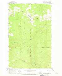
1969 Map of Bauerman Ridge
USGS Topo · Published 1973About this map
Bauerman Ridge and the surrounding high country of the Okanogan National Forest dominate this landscape along the international border between Washington and British Columbia. The terrain is defined by a network of drainage systems, including the Chewack River and tributaries like Tungsten Creek and Big Horn Creek. A high-altitude environment is evident in features such as Scheelite Lake and the nearby Scheelite Pass, suggesting geological interest or previous prospecting activity in this remote portion of the Pasayten Wilderness.
Find a feature on this map
31 named features on this map. Tap any name to fly to it.
Don’t see what you’re looking for? This feature index may not catch every label — zoom into the map to look around manually.
Map Details
Editions of this 1969 Bauerman Ridge Map
2 editions found
Other maps of this area

1906 · Chopaka
USGS Topo · 1:125,000

1954 · Okanogan
USGS Topo · 1:250,000

1955 · Concrete
USGS Topo · 1:250,000

1956 · Horseshoe Basin
USGS Topo · 1:62,500

1958 · Concrete
USGS Topo · 1:250,000

1958 · Okanogan
USGS Topo · 1:250,000

1962 · Concrete
USGS Topo · 1:250,000

1969 · Mt. Barney
USGS Topo · 1:24,000

1969 · Remmel Mtn.
USGS Topo · 1:24,000
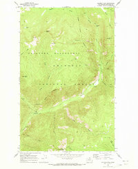
1969 · Coleman Peak
USGS Topo · 1:24,000