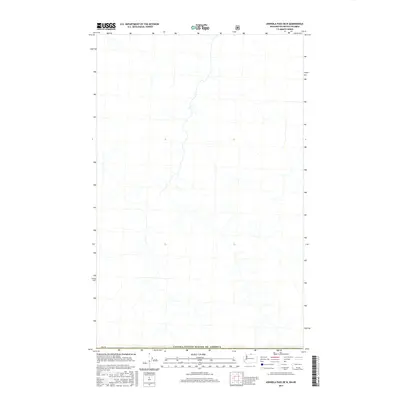
2017 Map of Ashnola Pass OE N
USGS Topo · Published 2017About this map
The Canada/United States of America international boundary defines the southern edge of this 2017 survey, where a high-elevation landscape is documented by the U.S. Geological Survey. This specific section of the border area, marked by the survey point PB 41, represents a remote wilderness interface where the northern cascades meet the interior of British Columbia. The terrain is characterized by a dense network of high-altitude drainages and ridges, captured here with modern digital precision including data from the BLM and FWS. While the sheet is sparse in named human settlements, the intricate contouring and watershed patterns provide essential detail for understanding the hydrological and topographic character of this cross-border region.
Find a feature on this map
2 named features on this map. Tap any name to fly to it.
Don’t see what you’re looking for? This feature index may not catch every label — zoom into the map to look around manually.
Map Details
Editions of this 2017 Ashnola Pass OE N Map
This is the sole edition of this map. No revisions or reprints were ever made.
Other maps of this area

1955 · Concrete
USGS Topo · 1:250,000

1958 · Concrete
USGS Topo · 1:250,000

1962 · Concrete
USGS Topo · 1:250,000

1969 · Remmel Mtn.
USGS Topo · 1:24,000
1969 · Ashnola Mtn
USGS Topo · 1:24,000

1969 · Ashnola Pass
USGS Topo · 1:24,000
2002 · Ashnola Mountain
USGS Topo · 1:24,000
2002 · Ashnola Pass
USGS Topo · 1:24,000
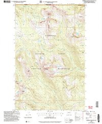
2002 · Remmel Mountain
USGS Topo · 1:24,000
2011 · Ashnola Mountain
USGS Topo · 1:24,000