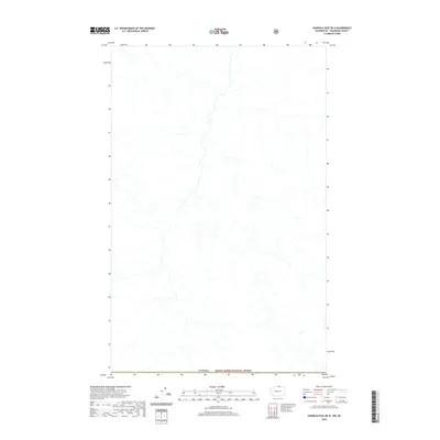
2020 Map of Ashnola Pass OE N
USGS Topo · Published 2020About this map
The international border of Canada defines the southern edge of this map, meeting the northern reaches of the Mount Baker National Forest. This remote stretch of the Pacific Northwest is characterized by a dense network of high-elevation drainage systems. The landscape is dominated by complex hydrography, where numerous unnamed streams and tributaries flow south toward the border, reflecting the natural terrain of the North Cascades region. As a 2020 edition, this survey documents the wilderness area as it existed in the early 21st century, showing a complete absence of developed roads, settlements, or named infrastructure, emphasizing the protected and primitive character of the national forest land along the boundary.
Find a feature on this map
2 named features on this map. Tap any name to fly to it.
Don’t see what you’re looking for? This feature index may not catch every label — zoom into the map to look around manually.
Map Details
Editions of this 2020 Ashnola Pass OE N Map
This is the sole edition of this map. No revisions or reprints were ever made.
Other maps of this area

1955 · Concrete
USGS Topo · 1:250,000

1958 · Concrete
USGS Topo · 1:250,000

1962 · Concrete
USGS Topo · 1:250,000

1969 · Remmel Mtn.
USGS Topo · 1:24,000
1969 · Ashnola Mtn
USGS Topo · 1:24,000

1969 · Ashnola Pass
USGS Topo · 1:24,000
2002 · Ashnola Mountain
USGS Topo · 1:24,000
2002 · Ashnola Pass
USGS Topo · 1:24,000
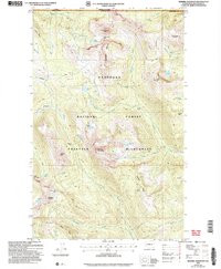
2002 · Remmel Mountain
USGS Topo · 1:24,000
2011 · Ashnola Mountain
USGS Topo · 1:24,000