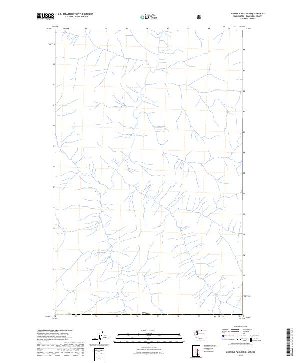
2023 Map of Ashnola Pass OE N
USGS Topo · Published 2023About this map
Canada forms the northern boundary of this topographic study, where the northern reaches of Okanogan County meet the international border. The landscape is defined by an intricate network of drainages and high-altitude watercourses that flow southward from the boundary line. This high-country terrain, captured in 2023, reflects a primary focus on the natural hydrography and elevation of the northern Cascades. While human-made structures and named settlements are absent in this specific quadrangle, the precise mapping of the Canada border provides a clear reference for those studying transboundary watersheds or the remote geography of the Pacific Northwest.
Find a feature on this map
1 named feature on this map. Tap any name to fly to it.
Don’t see what you’re looking for? This feature index may not catch every label — zoom into the map to look around manually.
Map Details
Editions of this 2023 Ashnola Pass OE N Map
This is the sole edition of this map. No revisions or reprints were ever made.
Other maps of this area

1955 · Concrete
USGS Topo · 1:250,000

1958 · Concrete
USGS Topo · 1:250,000

1962 · Concrete
USGS Topo · 1:250,000

1969 · Remmel Mtn.
USGS Topo · 1:24,000
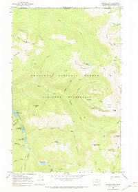
1969 · Ashnola Mtn
USGS Topo · 1:24,000

1969 · Ashnola Pass
USGS Topo · 1:24,000
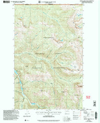
2002 · Ashnola Mountain
USGS Topo · 1:24,000
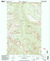
2002 · Ashnola Pass
USGS Topo · 1:24,000
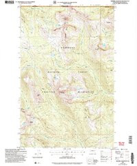
2002 · Remmel Mountain
USGS Topo · 1:24,000
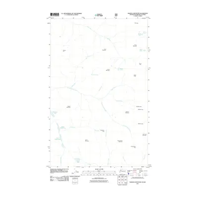
2011 · Ashnola Mountain
USGS Topo · 1:24,000