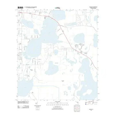
2012 Map of Ashton
USGS Topo · Published 2012About this map
Ashton and Harmony anchor this central Florida landscape, a region defined by an intricate network of interconnected freshwater basins. The topography is dominated by the massive footprints of Lake Gentry, Brick Lake, and Alligator Lake, which are interspersed with distinctive landforms like Scrub Island and Sweet Bay Island. This 2012 survey illustrates the transition of Osceola County from traditional rural acreage toward more structured residential developments, particularly noticeable in the gridded street layouts south of Alligator Lake Rd.
Find a feature on this map
68 named features on this map. Tap any name to fly to it.
Don’t see what you’re looking for? This feature index may not catch every label — zoom into the map to look around manually.
Map Details
Editions of this 2012 Ashton Map
This is the sole edition of this map. No revisions or reprints were ever made.
Other maps of this area

1953 · Cypress Lake
USGS Topo · 1:24,000

1953 · Holopaw SE
USGS Topo · 1:24,000

1953 · Narcoossee SE
USGS Topo · 1:24,000

1953 · St Cloud North
USGS Topo · 1:24,000

1953 · Narcoossee
USGS Topo · 1:24,000

1953 · St Cloud South
USGS Topo · 1:24,000

1953 · Holopaw SW
USGS Topo · 1:24,000

1953 · Ashton
USGS Topo · 1:24,000

1953 · Holopaw
USGS Topo · 1:24,000

1955 · Orlando
USGS Topo · 1:250,000