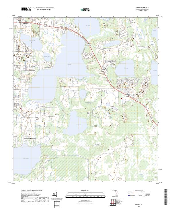
2024 Map of Ashton
USGS Topo · Published 2024About this map
Alligator Lake and Lake Lizzie dominate the northern landscape of this Osceola County region, where the urban edge of St. Cloud meets a complex network of wetlands and smaller basins. The map captures a transition from the denser residential street grids of Ashton to the more open, planned community of Harmony further east. This area is characterized by its interior islands and swamps, including Scrub Island and Sweet Bay Island, which sit amidst the waters of Brick Lake.
Find a feature on this map
100 named features on this map. Tap any name to fly to it.
Don’t see what you’re looking for? This feature index may not catch every label — zoom into the map to look around manually.
Map Details
Editions of this 2024 Ashton Map
This is the sole edition of this map. No revisions or reprints were ever made.
Other maps of this area

1953 · Cypress Lake
USGS Topo · 1:24,000

1953 · Holopaw SE
USGS Topo · 1:24,000

1953 · Narcoossee SE
USGS Topo · 1:24,000

1953 · St Cloud North
USGS Topo · 1:24,000

1953 · Narcoossee
USGS Topo · 1:24,000

1953 · St Cloud South
USGS Topo · 1:24,000

1953 · Holopaw SW
USGS Topo · 1:24,000

1953 · Ashton
USGS Topo · 1:24,000

1953 · Holopaw
USGS Topo · 1:24,000

1955 · Orlando
USGS Topo · 1:250,000