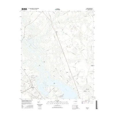
2016 Map of Askin
USGS Topo · Published 2016About this map
The Neuse River dominates this Craven County landscape, where wide waters meet a complex network of wetlands and tidal creeks. Around Shad Cove, the river opens into a broad expanse containing Hog Island and Marsh Island, illustrating the low-lying coastal geography near New Bern. This 2016 survey documents the rural character of the region, anchored by small settlements like Askin and Bridgeton.
Find a feature on this map
91 named features on this map. Tap any name to fly to it.
Don’t see what you’re looking for? This feature index may not catch every label — zoom into the map to look around manually.
Map Details
Editions of this 2016 Askin Map
This is the sole edition of this map. No revisions or reprints were ever made.
Other maps of this area

1901 · New Bern
USGS Topo · 1:62,500

1902 · Vanceboro
USGS Topo · 1:62,500

1903 · New Bern
USGS Topo · 1:62,500

1904 · Vanceboro
USGS Topo · 1:62,500

1905 · Vanceboro
USGS Topo · 1:62,500

1950 · Pollocksville
USGS Topo · 1:24,000

1950 · New Bern
USGS Topo · 1:24,000

1950 · Edward
USGS Topo · 1:24,000

1950 · Upper Broad Creek
USGS Topo · 1:24,000

1951 · Upper Broad Creek
USGS Topo · 1:24,000