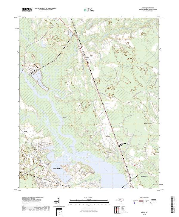
2022 Map of Askin
USGS Topo · Published 2022About this map
The Neuse River dominates this portion of Craven County, forming a wide aquatic corridor that separates the northern reaches of New Bern from the surrounding lowlands. Along the river's winding course, landforms like Hog Island and Marsh Island sit adjacent to residential and recreational pockets including Gatlin Beach and Shad Cove. The landscape transitions from the urbanized streets of the city's northern edge, such as Glenburnie Rd and Bosch Blvd, into a mosaic of wetlands and small rural communities.
Find a feature on this map
92 named features on this map. Tap any name to fly to it.
Don’t see what you’re looking for? This feature index may not catch every label — zoom into the map to look around manually.
Map Details
Editions of this 2022 Askin Map
This is the sole edition of this map. No revisions or reprints were ever made.
Other maps of this area

1901 · New Bern
USGS Topo · 1:62,500

1902 · Vanceboro
USGS Topo · 1:62,500

1903 · New Bern
USGS Topo · 1:62,500

1904 · Vanceboro
USGS Topo · 1:62,500

1905 · Vanceboro
USGS Topo · 1:62,500

1950 · Pollocksville
USGS Topo · 1:24,000

1950 · New Bern
USGS Topo · 1:24,000

1950 · Edward
USGS Topo · 1:24,000

1950 · Upper Broad Creek
USGS Topo · 1:24,000

1951 · Upper Broad Creek
USGS Topo · 1:24,000