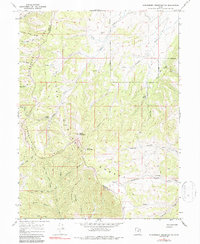
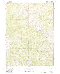
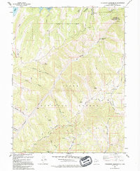
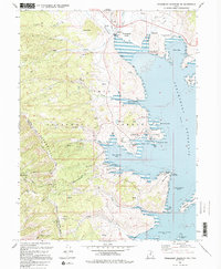
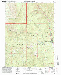
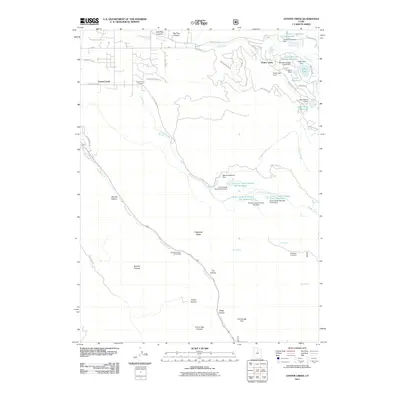
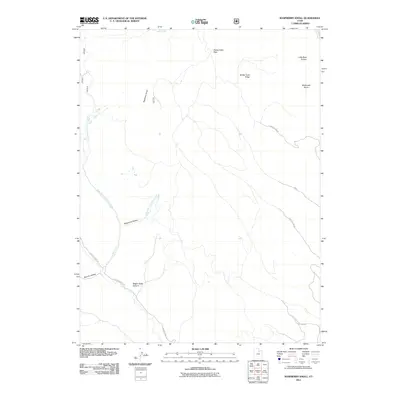
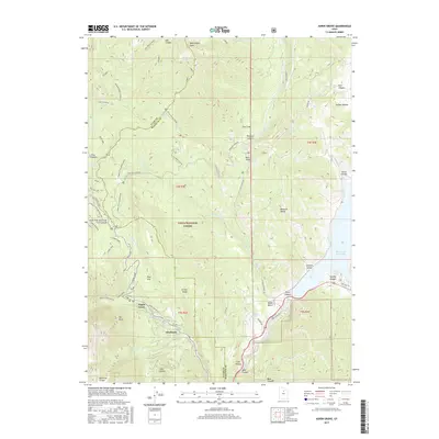
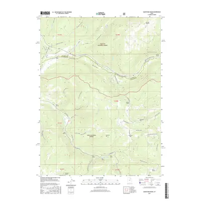
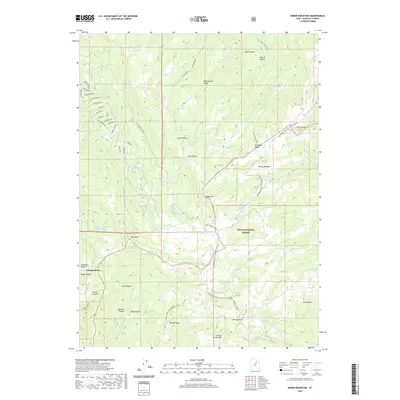
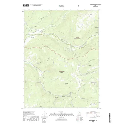
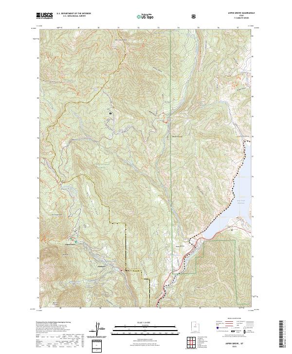
1948 Map of Aspen Grove
USGS Topo · Published 1983About this map
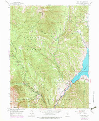
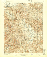
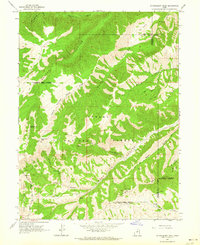
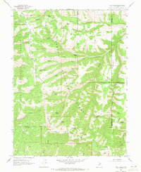
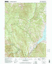
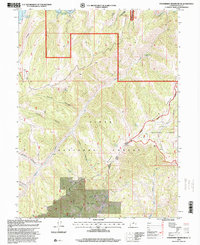
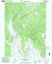
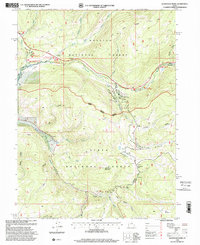
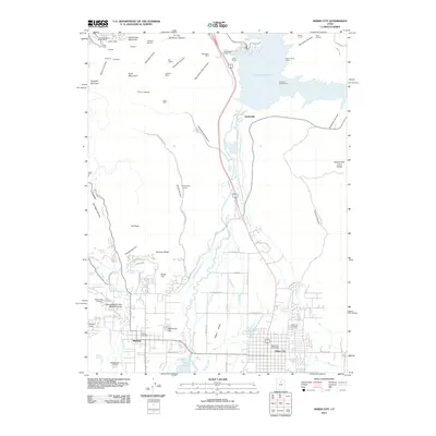
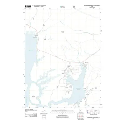
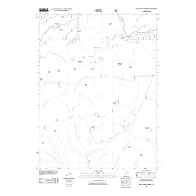
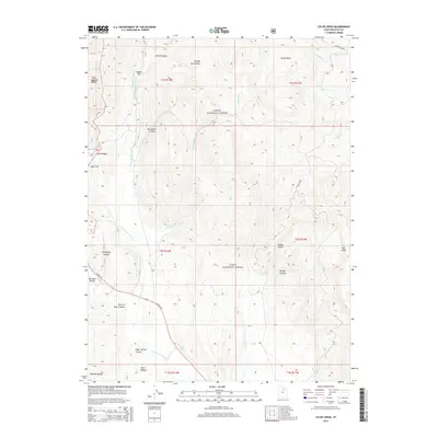
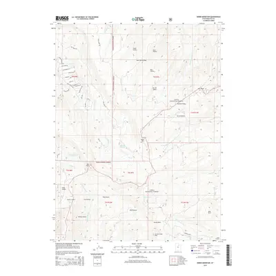
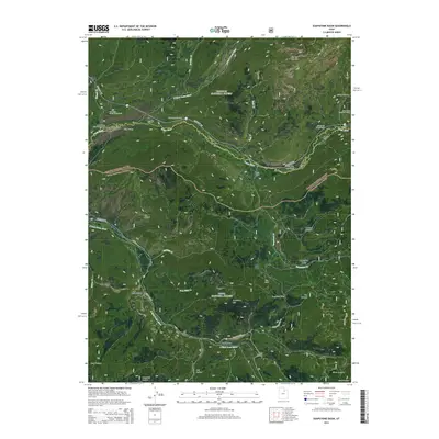
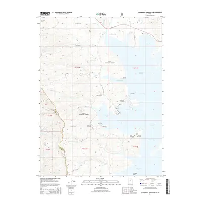
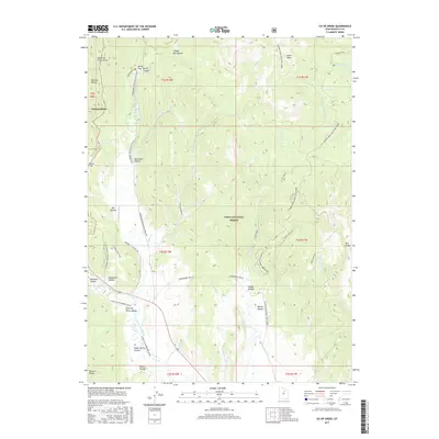
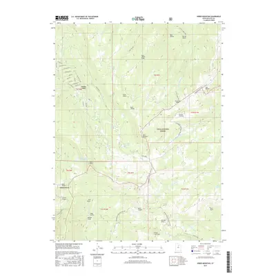
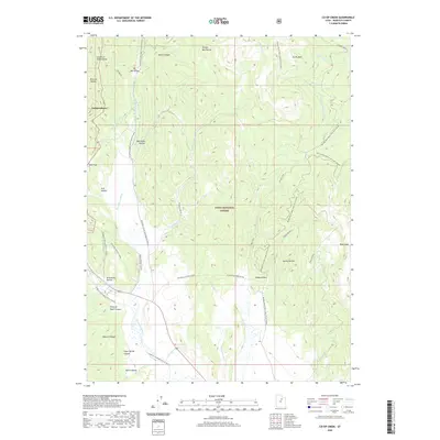
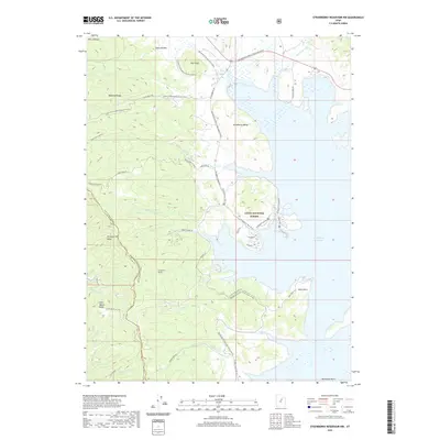
The Provo River and Deer Creek Reservoir anchor this 1948 topographic study of the canyon country between Utah Co and Wasatch Co. This mid-century view, updated with photorevisions through the 1970s, highlights the seasonal and educational use of the high country, featuring the Alpine Summer School (B Y U) and the Girls M I A Camp. The Denver and Rio Grande Western railroad tracks trace the eastern shore of the reservoir, illustrating the critical transportation corridor through the mountain passes. Numerous natural water sources, including Cascade Spr, Sulphur Spr, and Tooth Spr, are meticulously mapped alongside local landmarks like Weeks Bench and Stewarts Cascades. The map also captures several campgrounds, such as Summit Campground and Lame Horse Campground, serving the Uinta National Forest and Wasatch Mountains State Park.
Find a feature on this map
47 named features on this map. Tap any name to fly to it.
Don’t see what you’re looking for? This feature index may not catch every label — zoom into the map to look around manually.
Map Details
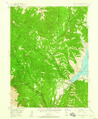
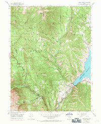
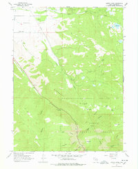
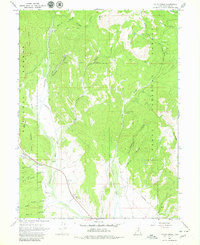
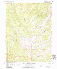
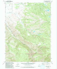
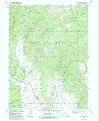
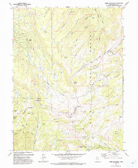
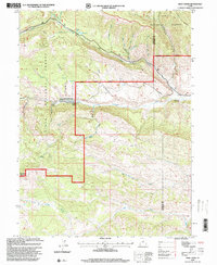
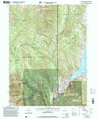
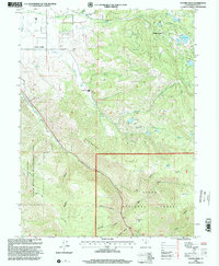
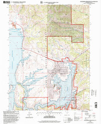
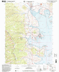
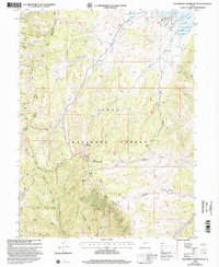
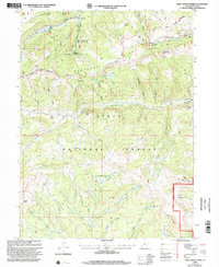
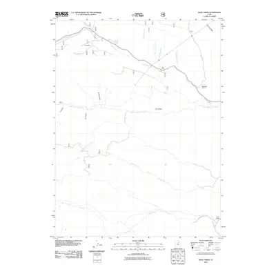
Editions of this 1948 Aspen Grove Map
3 editions found
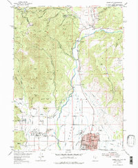
Historical Maps of Aspen Grove Through Time
153 maps found
1907 Strawberry Valley
Wasatch County, UT
1909 Strawberry Valley
Wasatch County, UT
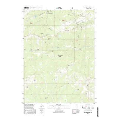
1948 Aspen Grove
Wasatch County, UT

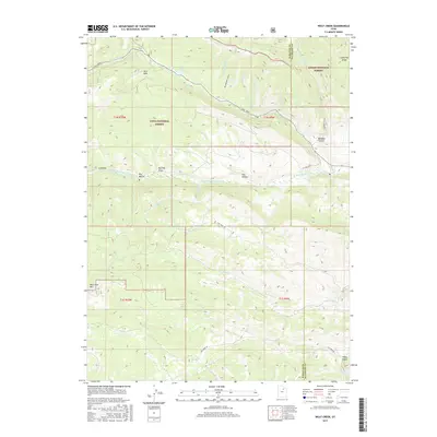
1950 Aspen Grove
Wasatch County, UT
1955 Heber City
Wasatch County, UT
1962 Deep Creek Canyon
Wasatch County, UT
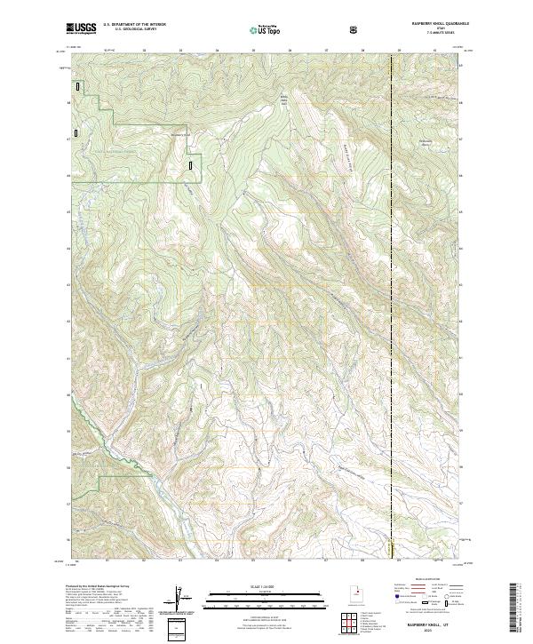
1962 Raspberry Knoll
Wasatch County, UT
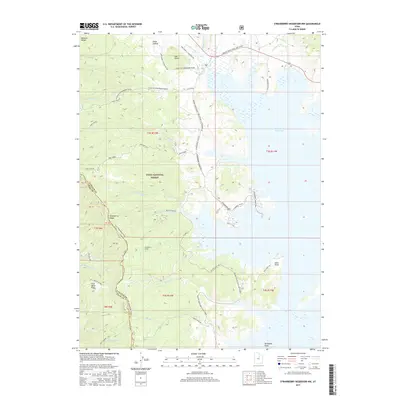
1962 Strawberry Peak
Wasatch County, UT
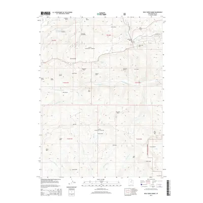
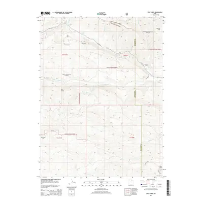
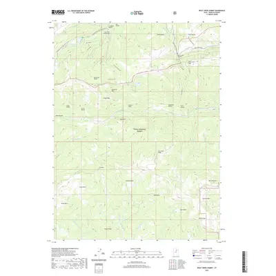
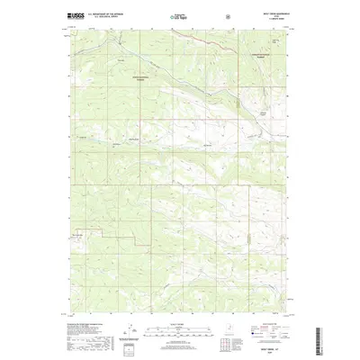
1962 Wolf Creek
Wasatch County, UT
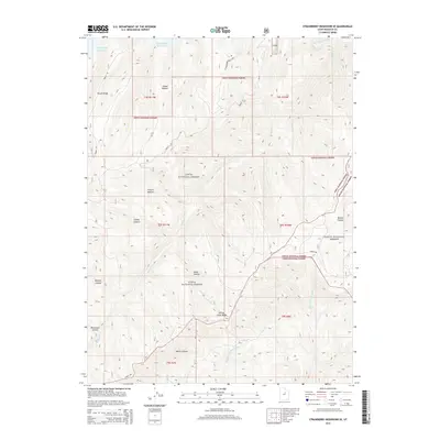
1966 Strawberry Reservoir NE
Wasatch County, UT
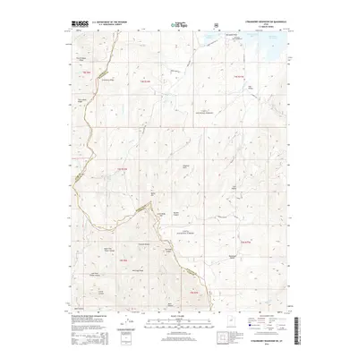
1966 Strawberry Reservoir NW
Wasatch County, UT
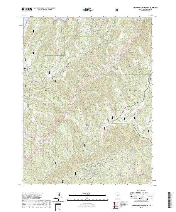
1966 Strawberry Reservoir SW
Wasatch County, UT
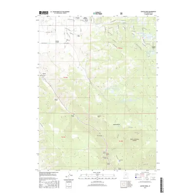
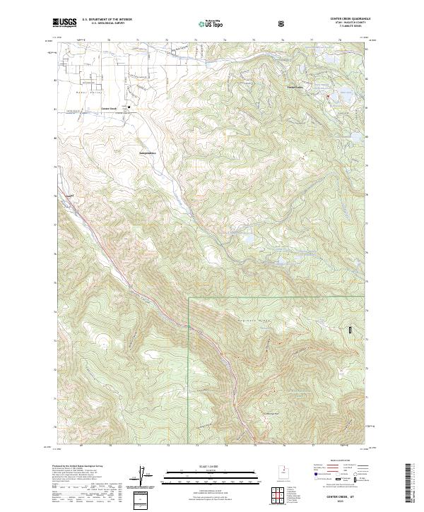
1967 Center Creek
Wasatch County, UT
1967 Co-Op Creek
Wasatch County, UT
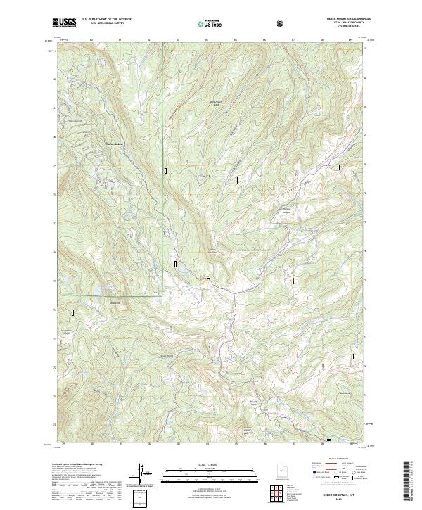
1967 Heber Mountain
Wasatch County, UT
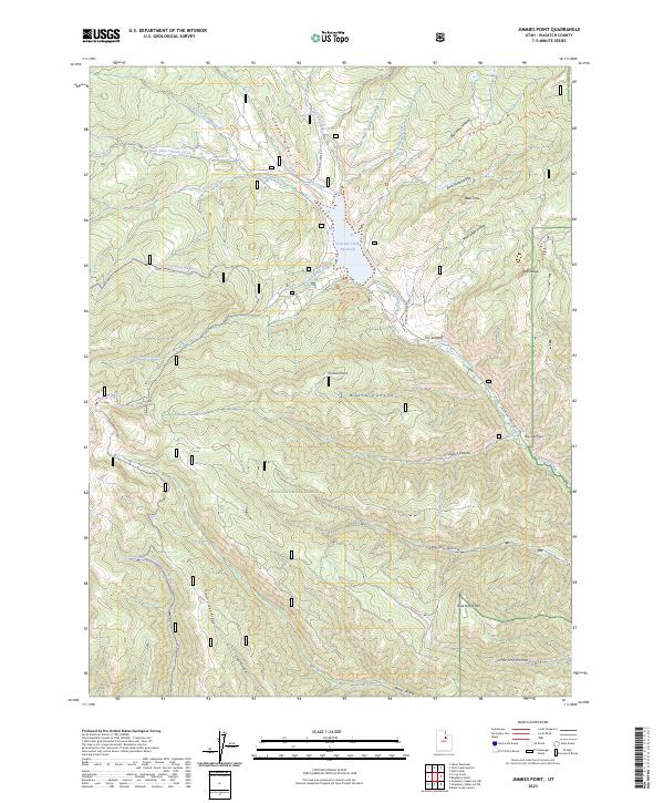
1967 Jimmies Point
Wasatch County, UT
1967 Strawberry Reservoir SE
Wasatch County, UT
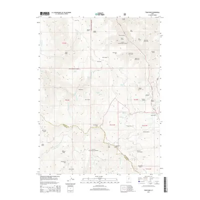
1967 Twin Peaks
Wasatch County, UT
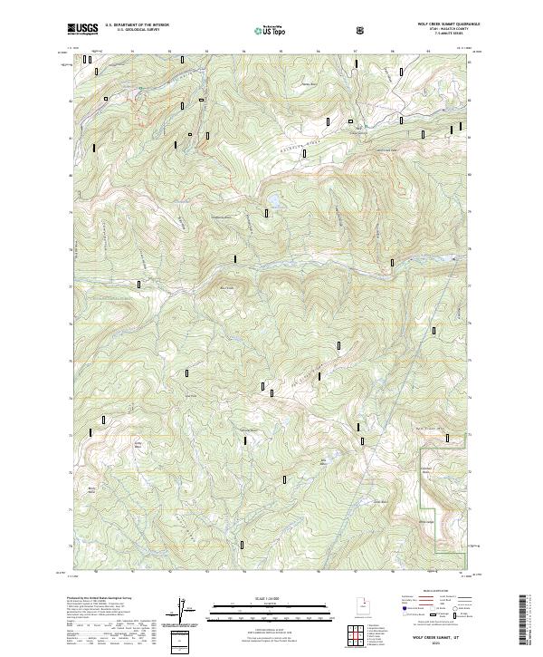
1967 Wolf Creek Summit
Wasatch County, UT
1969 Flat Ridge
Wasatch County, UT
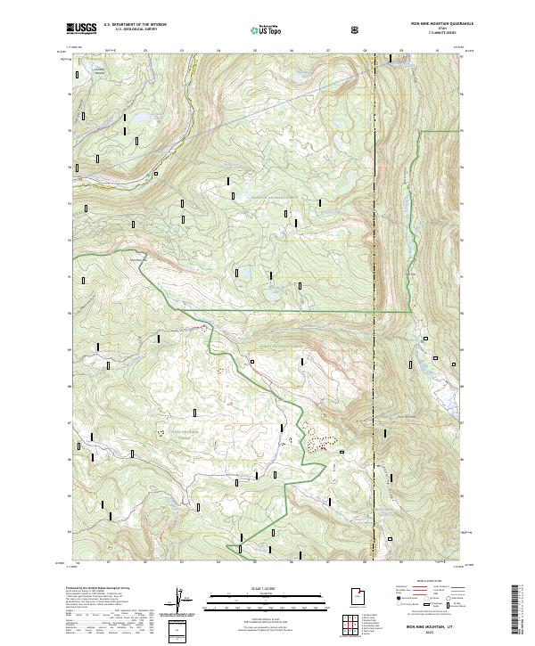
1972 Iron Mine Mountain
Wasatch County, UT
1972 Soapstone Basin
Wasatch County, UT
1978 Soldier Summit
Wasatch County, UT
1993 Aspen Grove
Wasatch County, UT
1993 Center Creek
Wasatch County, UT
1993 Co-Op Creek
Wasatch County, UT
1993 Heber Mountain
Wasatch County, UT
1993 Strawberry Reservoir SE
Wasatch County, UT
1993 Wolf Creek Summit
Wasatch County, UT
1994 Jimmies Point
Wasatch County, UT
1994 Strawberry Reservoir NE
Wasatch County, UT
1994 Strawberry Reservoir NW
Wasatch County, UT

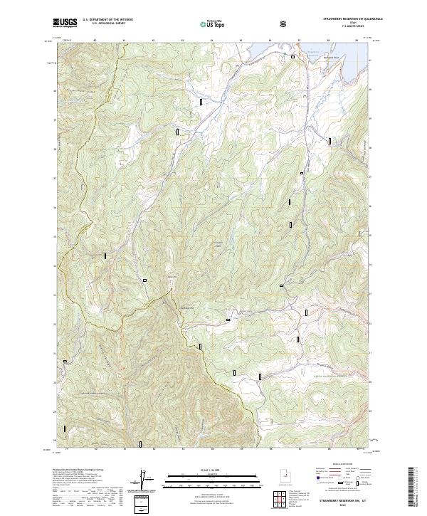
1994 Strawberry Reservoir SW
Wasatch County, UT
1994 Twin Peaks
Wasatch County, UT
1996 Flat Ridge
Wasatch County, UT
1996 Iron Mine Mountain
Wasatch County, UT

1996 Strawberry Peak
Wasatch County, UT
1996 Strawberry Reservoir SE
Wasatch County, UT
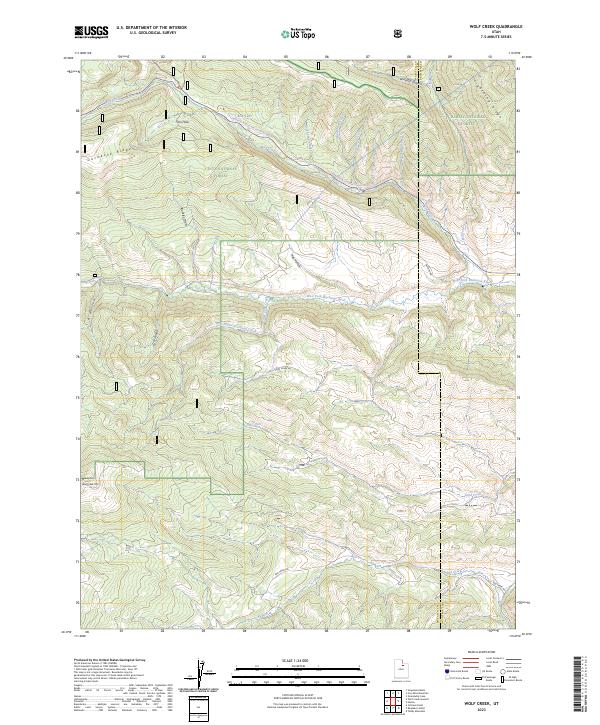
1996 Wolf Creek
Wasatch County, UT
1998 Aspen Grove
Wasatch County, UT
1998 Center Creek
Wasatch County, UT
1998 Co-Op Creek
Wasatch County, UT
1998 Heber Mountain
Wasatch County, UT
1998 Jimmies Point
Wasatch County, UT
1998 Raspberry Knoll
Wasatch County, UT
1998 Soapstone Basin
Wasatch County, UT

1998 Soldier Summit
Wasatch County, UT
1998 Strawberry Reservoir NE
Wasatch County, UT
1998 Strawberry Reservoir NW
Wasatch County, UT
1998 Strawberry Reservoir SW
Wasatch County, UT
1998 Twin Peaks
Wasatch County, UT
1998 Wolf Creek Summit
Wasatch County, UT
1999 Heber City
Wasatch County, UT
2011 Aspen Grove
Wasatch County, UT
2011 Center Creek
Wasatch County, UT
2011 Co-op Creek
Wasatch County, UT
2011 Deep Creek Canyon
Wasatch County, UT
2011 Flat Ridge
Wasatch County, UT
2011 Heber City
Wasatch County, UT
2011 Heber Mountain
Wasatch County, UT
2011 Iron Mine Mountain
Wasatch County, UT
2011 Jimmies Point
Wasatch County, UT
2011 Raspberry Knoll
Wasatch County, UT
2011 Soapstone Basin
Wasatch County, UT
2011 Soldier Summit
Wasatch County, UT
2011 Strawberry Peak
Wasatch County, UT
2011 Strawberry Reservoir NE
Wasatch County, UT
2011 Strawberry Reservoir NW
Wasatch County, UT

2011 Strawberry Reservoir SE
Wasatch County, UT
2011 Strawberry Reservoir SW
Wasatch County, UT
2011 Twin Peaks
Wasatch County, UT
2011 Wolf Creek Summit
Wasatch County, UT
2011 Wolf Creek
Wasatch County, UT
2014 Aspen Grove
Wasatch County, UT
2014 Center Creek
Wasatch County, UT
2014 Co-op Creek
Wasatch County, UT
2014 Deep Creek Canyon
Wasatch County, UT
2014 Flat Ridge
Wasatch County, UT
2014 Heber City
Wasatch County, UT
2014 Heber Mountain
Wasatch County, UT
2014 Iron Mine Mountain
Wasatch County, UT
2014 Jimmies Point
Wasatch County, UT
2014 Raspberry Knoll
Wasatch County, UT
2014 Soapstone Basin
Wasatch County, UT
2014 Soldier Summit
Wasatch County, UT
2014 Strawberry Peak
Wasatch County, UT
2014 Strawberry Reservoir NE
Wasatch County, UT
2014 Strawberry Reservoir NW
Wasatch County, UT
2014 Strawberry Reservoir SE
Wasatch County, UT
2014 Strawberry Reservoir SW
Wasatch County, UT
2014 Twin Peaks
Wasatch County, UT
2014 Wolf Creek Summit
Wasatch County, UT
2014 Wolf Creek
Wasatch County, UT
2017 Aspen Grove
Wasatch County, UT
2017 Center Creek
Wasatch County, UT
2017 Co-op Creek
Wasatch County, UT
2017 Deep Creek Canyon
Wasatch County, UT
2017 Flat Ridge
Wasatch County, UT
2017 Heber City
Wasatch County, UT
2017 Heber Mountain
Wasatch County, UT
2017 Iron Mine Mountain
Wasatch County, UT
2017 Jimmies Point
Wasatch County, UT
2017 Raspberry Knoll
Wasatch County, UT
2017 Soapstone Basin
Wasatch County, UT
2017 Soldier Summit
Wasatch County, UT
2017 Strawberry Peak
Wasatch County, UT
2017 Strawberry Reservoir NE
Wasatch County, UT
2017 Strawberry Reservoir NW
Wasatch County, UT
2017 Strawberry Reservoir SE
Wasatch County, UT
2017 Strawberry Reservoir SW
Wasatch County, UT
2017 Twin Peaks
Wasatch County, UT
2017 Wolf Creek Summit
Wasatch County, UT
2017 Wolf Creek
Wasatch County, UT
2020 Aspen Grove
Wasatch County, UT
2020 Center Creek
Wasatch County, UT
2020 Co-op Creek
Wasatch County, UT
2020 Deep Creek Canyon
Wasatch County, UT
2020 Flat Ridge
Wasatch County, UT
2020 Heber City
Wasatch County, UT
2020 Heber Mountain
Wasatch County, UT
2020 Iron Mine Mountain
Wasatch County, UT
2020 Jimmies Point
Wasatch County, UT
2020 Raspberry Knoll
Wasatch County, UT
2020 Soapstone Basin
Wasatch County, UT
2020 Soldier Summit
Wasatch County, UT
2020 Strawberry Peak
Wasatch County, UT
2020 Strawberry Reservoir NE
Wasatch County, UT
2020 Strawberry Reservoir NW
Wasatch County, UT
2020 Strawberry Reservoir SE
Wasatch County, UT
2020 Strawberry Reservoir SW
Wasatch County, UT
2020 Twin Peaks
Wasatch County, UT
2020 Wolf Creek Summit
Wasatch County, UT
2020 Wolf Creek
Wasatch County, UT
2023 Aspen Grove
Wasatch County, UT
2023 Center Creek
Wasatch County, UT
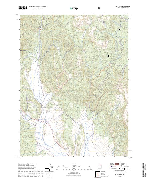
2023 Co-op Creek
Wasatch County, UT
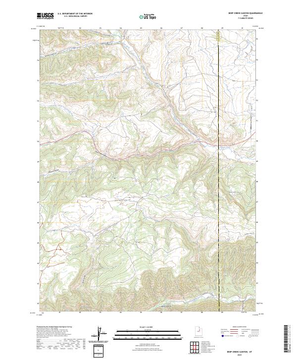
2023 Deep Creek Canyon
Wasatch County, UT
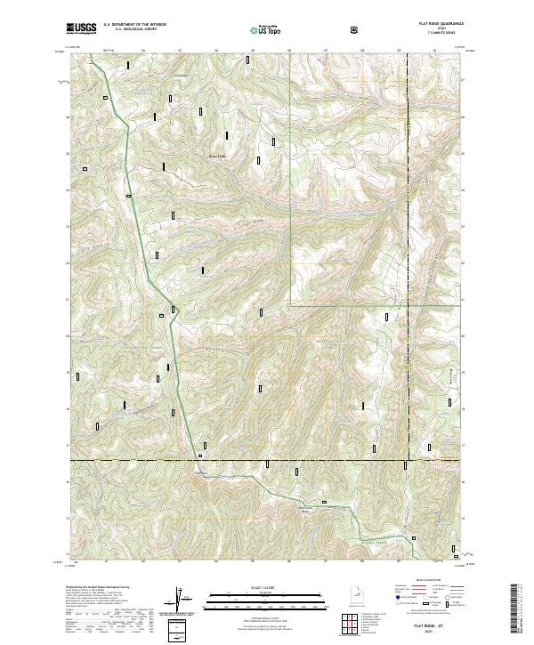
2023 Flat Ridge
Wasatch County, UT
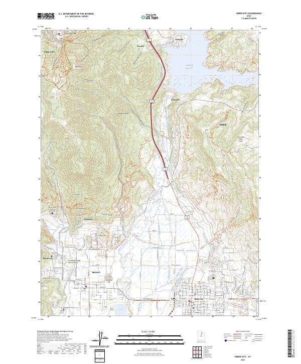
2023 Heber City
Wasatch County, UT
2023 Heber Mountain
Wasatch County, UT
2023 Iron Mine Mountain
Wasatch County, UT
2023 Jimmies Point
Wasatch County, UT
2023 Raspberry Knoll
Wasatch County, UT
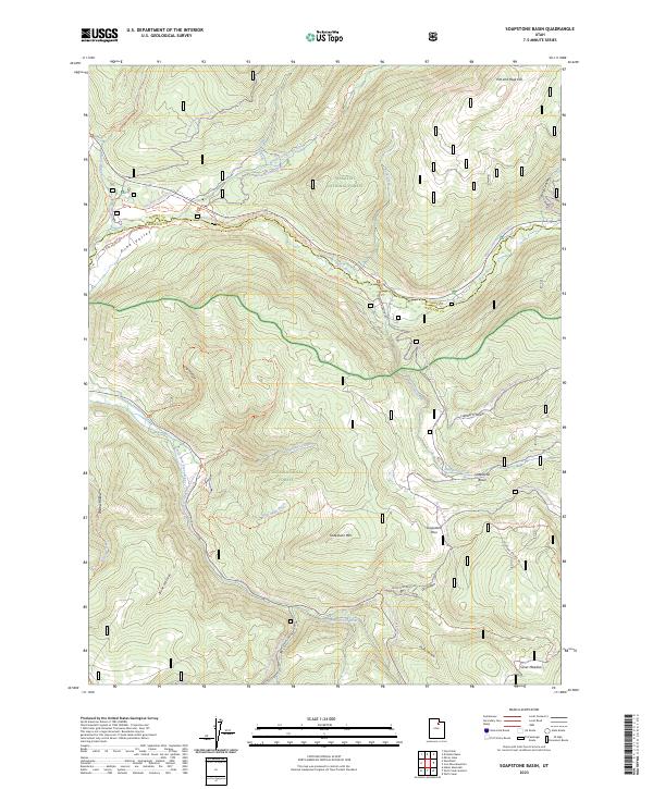
2023 Soapstone Basin
Wasatch County, UT
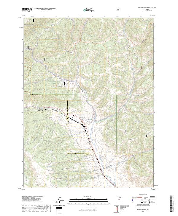
2023 Soldier Summit
Wasatch County, UT

2023 Strawberry Peak
Wasatch County, UT
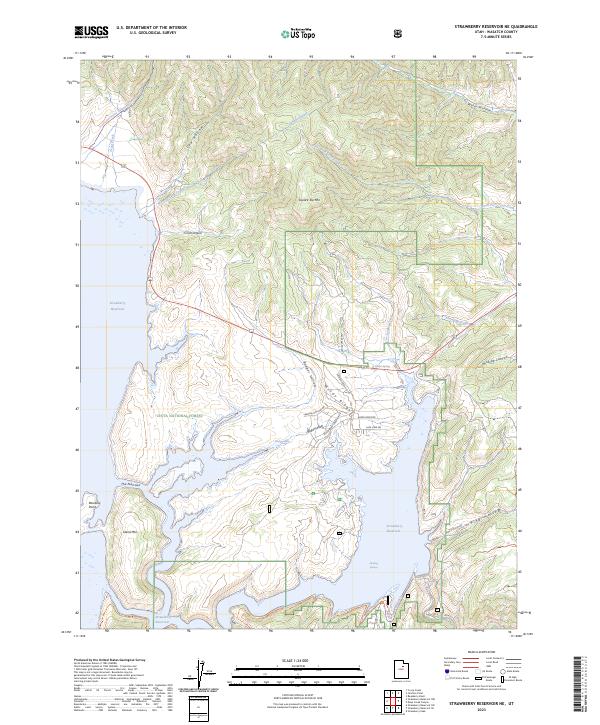
2023 Strawberry Reservoir NE
Wasatch County, UT
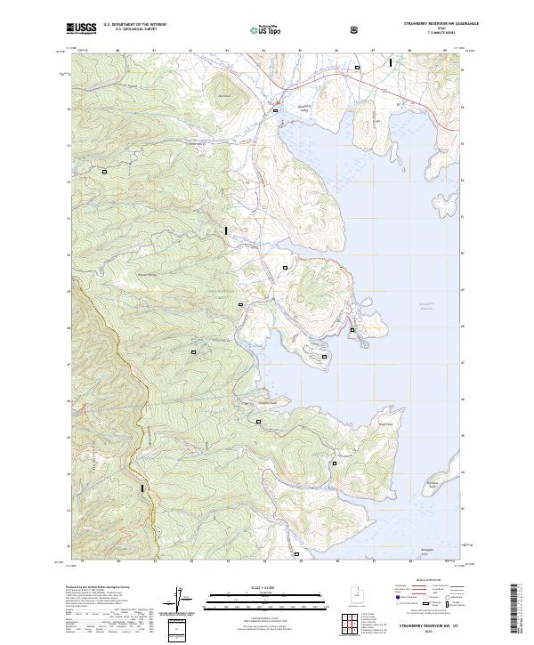
2023 Strawberry Reservoir NW
Wasatch County, UT
2023 Strawberry Reservoir SE
Wasatch County, UT
2023 Strawberry Reservoir SW
Wasatch County, UT

2023 Twin Peaks
Wasatch County, UT
2023 Wolf Creek Summit
Wasatch County, UT
2023 Wolf Creek
Wasatch County, UT