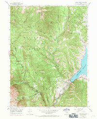
1948 Map of Aspen Grove
USGS Topo · Published 1971About this map
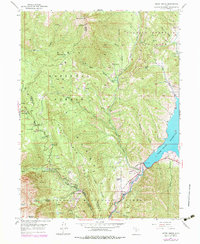
Uinta National Forest and Wasatch Mountain State Park dominate this terrain, where the North Fork Provo River cuts through the canyon floor toward the Deer Creek Reservoir. The map illustrates a landscape shaped by both recreation and institutional use, featuring the Alpine Summer School (BYU) and the Girls M I A Camp near Aspen Grove.
Find a feature on this map
52 named features on this map. Tap any name to fly to it.
Don’t see what you’re looking for? This feature index may not catch every label — zoom into the map to look around manually.
Map Details
Editions of this 1948 Aspen Grove Map
3 editions found

Other maps of this area

1885 · Salt Lake
USGS Topo · 1:250,000

1900 · Coalville
USGS Topo · 1:125,000

1903 · Coalville
USGS Topo · 1:125,000

1907 · Strawberry Valley
USGS Topo · 1:125,000

1909 · Strawberry Valley
USGS Topo · 1:125,000

1925 · Ft. Douglas
USGS Topo · 1:125,000

1928 · Ft. Douglas
USGS Topo · 1:125,000

1948 · Timpanogos Cave
USGS Topo · 1:24,000

1948 · Orem
USGS Topo · 1:24,000

1948 · Orem
USGS Topo · 1:62,500