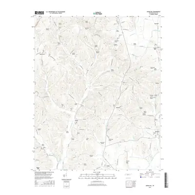
2016 Map of Aspen Hill
USGS Topo · Published 2016About this map
Barksdale Ridge and numerous deeply cut hollows dominate this southern Tennessee landscape, where the headwaters of E Fork Shoal Cr and W Fork Shoal Cr begin their descent toward the Alabama border. The settlement pattern is defined by small, long-established communities like Stella, Kedron, and Aspen Hill, each maintaining its own distinct identity through local landmarks and family burying grounds. The geography is characterized by a high density of cemeteries, including Beech Grove Cem and Shoal Bluff Cem, which serve as vital markers for genealogical research in this part of Giles County.
Find a feature on this map
150 named features on this map. Tap any name to fly to it.
Don’t see what you’re looking for? This feature index may not catch every label — zoom into the map to look around manually.
Map Details
Editions of this 2016 Aspen Hill Map
This is the sole edition of this map. No revisions or reprints were ever made.
Other maps of this area

1888 · Huntsville
USGS Topo · 1:125,000

1892 · Huntsville
USGS Topo · 1:125,000

1936 · Union Hill
USGS Topo · 1:24,000

1936 · Aspen Hill
USGS Topo · 1:24,000

1936 · Elkmont
USGS Topo · 1:24,000

1936 · Pulaski
USGS Topo · 1:24,000

1936 · Bodenham
USGS Topo · 1:24,000

1936 · Appleton
USGS Topo · 1:24,000

1936 · Tarpley
USGS Topo · 1:24,000

1936 · Elkton
USGS Topo · 1:24,000