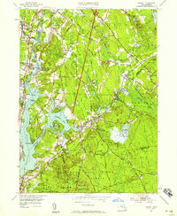
1951 Map of Assonet
USGS Topo · Published 1958About this map
The Taunton River and its tidal estuaries dominate this 1950s landscape, serving as a corridor for both industry and early settlement. Along the banks, several small towns including Dighton, Berkley, and Assonet are connected by the New York New Haven and Hartford railroad line, which runs parallel to the water through Myricks. The presence of specialized institutions like the County Agricultural School and numerous burial sites, such as the Assonet Burial Ground and Old Quaker Cem, points to a long-established rural community transitioning into the mid-century era. Large tracts of the eastern and southern portions are dedicated to conservation and public works, notably the Freetown-Fall River State Forest and the Watuppa Reservation. In the river itself, the landmark Dighton Rock sits near the shore, while the Fall River Municipal Airport at the southern edge marks the increasing modernization of the region's infrastructure.
Find a feature on this map
65 named features on this map. Tap any name to fly to it.
Don’t see what you’re looking for? This feature index may not catch every label — zoom into the map to look around manually.
Map Details
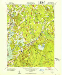
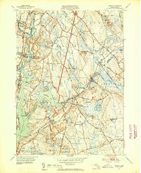
Editions of this 1951 Assonet Map
3 editions found
Other maps of this area

1885 · New Bedford
USGS Topo · 1:62,500

1885 · Middleboro
USGS Topo · 1:62,500

1885 · Taunton
USGS Topo · 1:62,500

1888 · New Bedford
USGS Topo · 1:62,500

1888 · Fall River
USGS Topo · 1:62,500

1888 · Taunton
USGS Topo · 1:62,500

1888 · Middleboro
USGS Topo · 1:62,500

1893 · Taunton
USGS Topo · 1:62,500

1893 · Middleboro
USGS Topo · 1:62,500

1893 · Fall River
USGS Topo · 1:62,500