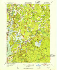
1951 Map of Assonet
USGS Topo · Published 1951About this map
The Taunton River serves as the central artery for this mid-century portrait of Bristol County, defining the boundaries between settlements like Dighton and Berkley. The landscape is a complex mix of industrial infrastructure and protected natural spaces, where the New York New Haven and Hartford railroad tracks parallel the water, and the sprawling Freetown-Fall River State Forest dominates the southern reaches. Cultural and educational history is visible in the presence of the County Agricultural School and the South St Sch in North Dighton.
Find a feature on this map
63 named features on this map. Tap any name to fly to it.
Don’t see what you’re looking for? This feature index may not catch every label — zoom into the map to look around manually.
Map Details
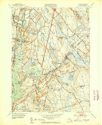
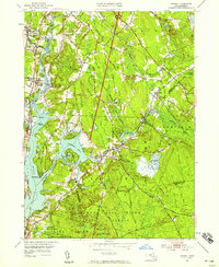
Editions of this 1951 Assonet Map
3 editions found
Other maps of this area

1885 · New Bedford
USGS Topo · 1:62,500

1885 · Middleboro
USGS Topo · 1:62,500

1885 · Taunton
USGS Topo · 1:62,500

1888 · New Bedford
USGS Topo · 1:62,500

1888 · Fall River
USGS Topo · 1:62,500

1888 · Taunton
USGS Topo · 1:62,500

1888 · Middleboro
USGS Topo · 1:62,500

1893 · Taunton
USGS Topo · 1:62,500

1893 · Middleboro
USGS Topo · 1:62,500

1893 · Fall River
USGS Topo · 1:62,500