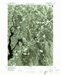
1977 Map of Assonet
USGS Topo · Published 1981About this map
The winding Taunton River defines the western edge of this 1977 orthophotoquad, revealing the dense woodland and agricultural patterns of Bristol County. This aerial perspective, prepared by the Geological Survey, provides a clear view of the landscape around Assonet and Berkley before the acceleration of late-twentieth-century development. The photographic detail captures the intersection of land and water where the Assonet River meets the larger Taunton, showing the established footprints of settlements like Dighton and North Dighton.
Find a feature on this map
9 named features on this map. Tap any name to fly to it.
Don’t see what you’re looking for? This feature index may not catch every label — zoom into the map to look around manually.
Map Details
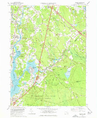
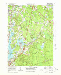
Editions of this 1977 Assonet Map
3 editions found
Other maps of this area

1885 · New Bedford
USGS Topo · 1:62,500

1885 · Middleboro
USGS Topo · 1:62,500

1885 · Taunton
USGS Topo · 1:62,500

1888 · New Bedford
USGS Topo · 1:62,500

1888 · Fall River
USGS Topo · 1:62,500

1888 · Taunton
USGS Topo · 1:62,500

1888 · Middleboro
USGS Topo · 1:62,500

1893 · Taunton
USGS Topo · 1:62,500

1893 · Middleboro
USGS Topo · 1:62,500

1893 · Fall River
USGS Topo · 1:62,500