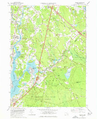
1977 Map of Assonet
USGS Topo · Published 1977About this map
Assonet sits at the head of tidal water where the Assonet River meets Assonet Bay, forming a critical junction in this coastal Massachusetts landscape. During the mid-1970s, the region balanced its colonial-era roots with modern infrastructure, as seen by the heavy corridor of the Conrail line and several interchanges along the primary highway system. Cultural and historical landmarks are dense near the water, including the Dighton Rock State Park and the venerable Old Quaker Cem.
Find a feature on this map
80 named features on this map. Tap any name to fly to it.
Don’t see what you’re looking for? This feature index may not catch every label — zoom into the map to look around manually.
Map Details
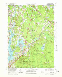
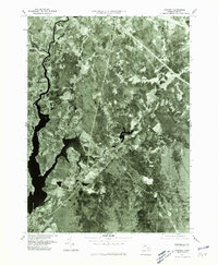
Editions of this 1977 Assonet Map
3 editions found
Other maps of this area

1885 · New Bedford
USGS Topo · 1:62,500

1885 · Middleboro
USGS Topo · 1:62,500

1885 · Taunton
USGS Topo · 1:62,500

1888 · New Bedford
USGS Topo · 1:62,500

1888 · Fall River
USGS Topo · 1:62,500

1888 · Taunton
USGS Topo · 1:62,500

1888 · Middleboro
USGS Topo · 1:62,500

1893 · Taunton
USGS Topo · 1:62,500

1893 · Middleboro
USGS Topo · 1:62,500

1893 · Fall River
USGS Topo · 1:62,500