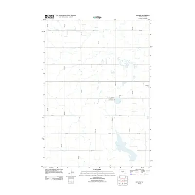
2012 Map of Astoria
USGS Topo · Published 2012About this map
Oak Lake and the small agricultural hub of Astoria define this corner of Deuel County. The landscape is marked by a strict section-line grid of rural roads like 482nd Ave and 195th St, reflecting the systematic settlement of the Dakota plains. Within the town, activity centers around Main St and Norden St, where the local Po (Post Office) is situated. Historically significant sites for genealogists include the Bethlehem Cem to the east and Bethany Cem near the town center. The natural hydrology is characterized by prairie potholes and small drainages like Cobb Cr, while Jorstad Spring provides a perennial water source amidst the cultivated fields. This survey captures the enduring rural character of Scandinavia Township in the early 21st century.
Find a feature on this map
24 named features on this map. Tap any name to fly to it.
Don’t see what you’re looking for? This feature index may not catch every label — zoom into the map to look around manually.
Map Details
Editions of this 2012 Astoria Map
This is the sole edition of this map. No revisions or reprints were ever made.
Other maps of this area

1953 · Watertown
USGS Topo · 1:250,000

1958 · Watertown
USGS Topo · 1:250,000

1967 · Canby NW
USGS Topo · 1:24,000

1967 · Lake Benton NW
USGS Topo · 1:24,000

1967 · Hendricks
USGS Topo · 1:24,000

1970 · Brandt
USGS Topo · 1:24,000

1970 · White NE
USGS Topo · 1:24,000

1970 · Astoria
USGS Topo · 1:24,000

1970 · White
USGS Topo · 1:24,000

1970 · Clear Lake South
USGS Topo · 1:24,000
Featured Places
- Astoria, SD
- Scandinavia Township, SD
- Lake Hendricks Township, SD
- Oaklake Township, SD
- Brookings County, SD