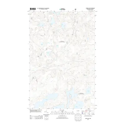
2013 Map of Astrid Lake
USGS Topo · Published 2013About this map
Superior National Forest protects this glacial landscape in northeastern St. Louis County, where a complex network of waterways and service roads defines the interior wilderness. The topography is dominated by numerous small lakes and connecting streams, such as Astrid Creek flowing from Astrid Lake toward Maude Lake. A primary point of elevation and historical interest is the Norway Lookout Tower, situated at a high point overlooking the dense forest and drainage basins of Norway Creek and Hilda Creek.
Find a feature on this map
25 named features on this map. Tap any name to fly to it.
Don’t see what you’re looking for? This feature index may not catch every label — zoom into the map to look around manually.
Map Details
Editions of this 2013 Astrid Lake Map
This is the sole edition of this map. No revisions or reprints were ever made.
Other maps of this area

1954 · Hibbing
USGS Topo · 1:250,000

1954 · International Falls
USGS Topo · 1:250,000

1956 · Sioux Pine Island
USGS Topo · 1:24,000

1956 · Vermilion Dam
USGS Topo · 1:24,000

1956 · Chad Lake
USGS Topo · 1:24,000

1957 · Hibbing
USGS Topo · 1:250,000

1957 · International Falls
USGS Topo · 1:250,000

1958 · International Falls
USGS Topo · 1:250,000

1958 · Hibbing
USGS Topo · 1:250,000

1963 · Echo Lake
USGS Topo · 1:24,000