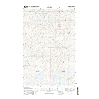
2016 Map of Astrid Lake
USGS Topo · Published 2016About this map
Superior National Forest dominates this northern Minnesota landscape, where a dense network of glacial lakes and portage-style trails defines the local geography. Large bodies of water like Astrid Lake and Trout Lake are connected by namesake paths such as the Astrid Main Trail and the Norway Trail, reflecting the area's long-standing character as a destination for back-country travel. The southern portion of the sheet is marked by the Little Trout-Sioux River and Oriniack Lake, while numerous smaller basins including Saltpork Lake and Foolsgold Lake are tucked into the undulating terrain. This 2016 survey documents the intricate drainage patterns of the Hilda Creek and Nigh Creek systems, providing a clear record of the protected wilderness before more recent environmental shifts.
Find a feature on this map
41 named features on this map. Tap any name to fly to it.
Don’t see what you’re looking for? This feature index may not catch every label — zoom into the map to look around manually.
Map Details
Editions of this 2016 Astrid Lake Map
This is the sole edition of this map. No revisions or reprints were ever made.
Other maps of this area

1954 · Hibbing
USGS Topo · 1:250,000

1954 · International Falls
USGS Topo · 1:250,000

1956 · Sioux Pine Island
USGS Topo · 1:24,000

1956 · Vermilion Dam
USGS Topo · 1:24,000

1956 · Chad Lake
USGS Topo · 1:24,000

1957 · Hibbing
USGS Topo · 1:250,000

1957 · International Falls
USGS Topo · 1:250,000

1958 · International Falls
USGS Topo · 1:250,000

1958 · Hibbing
USGS Topo · 1:250,000

1963 · Echo Lake
USGS Topo · 1:24,000