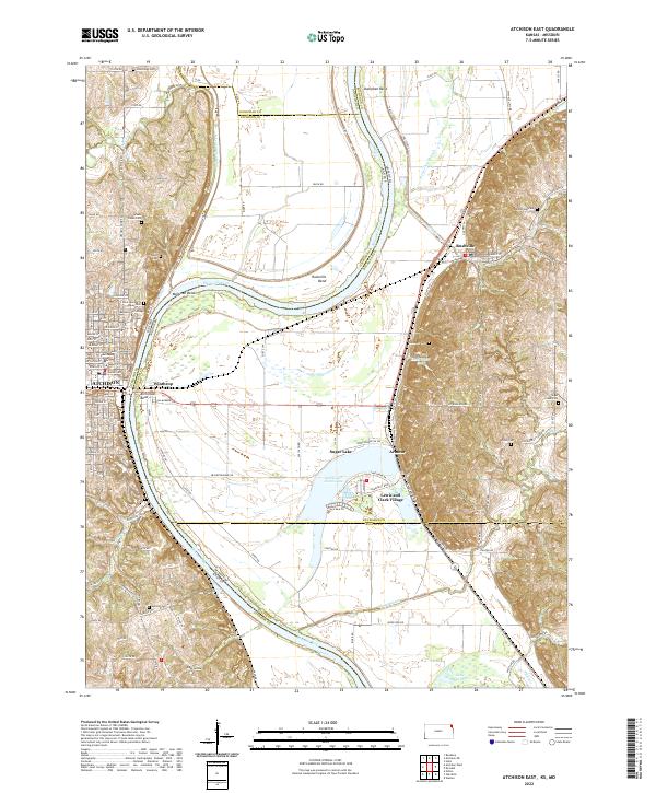
2022 Map of Atchison East
USGS Topo · Published 2022About this map
The Missouri River winds through the heart of this landscape, carving a complex boundary between Atchison, Kansas, and Buchanan and Platte Counties in Missouri. On the western bank, the city of Atchison serves as a focal point, anchored by the Atchison County Courthouse and the sprawling campus of Benedictine College. The river's dynamic history is written in its numerous bends and oxbows, including Atchison Bend, Rushville Bend, and Doniphan Bend.
Find a feature on this map
87 named features on this map. Tap any name to fly to it.
Don’t see what you’re looking for? This feature index may not catch every label — zoom into the map to look around manually.
Map Details
Editions of this 2022 Atchison East Map
This is the sole edition of this map. No revisions or reprints were ever made.
Other maps of this area
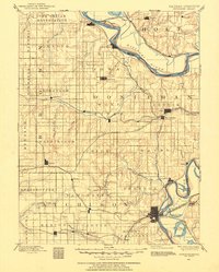
1885 · Atchison
USGS Topo · 1:125,000

1886 · Oskaloosa
USGS Topo · 1:125,000

1888 · Oskaloosa
USGS Topo · 1:125,000
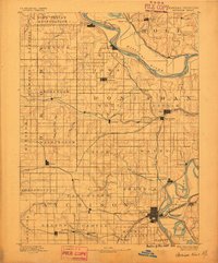
1888 · Atchison
USGS Topo · 1:125,000

1890 · Kansas City
USGS Topo · 1:125,000
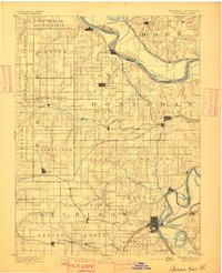
1893 · Atchison
USGS Topo · 1:125,000

1894 · Kansas City
USGS Topo · 1:125,000
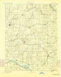
1894 · Oskaloosa
USGS Topo · 1:125,000
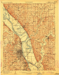
1910 · Leavenworth
USGS Topo · 1:62,500
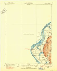
1926 · Atchison
USGS Topo · 1:62,500