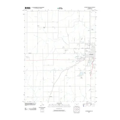
2009 Map of Atchison West
USGS Topo · Published 2009About this map
Atchison serves as the eastern anchor of this Northeast Kansas landscape, where the urban grid meets a network of creeks and rural roads. The map illustrates the town's westward growth and the preservation of its community heritage through several large burial grounds, including Mount Calvary Cemetery, Oak Hill Cemetery, and Mount Vernon Cemetery. To the west, the rural character is defined by smaller settlements such as Good Intent and Shannon, and the aviation presence of Amelia Earhart Airport northwest of the city center.
Find a feature on this map
68 named features on this map. Tap any name to fly to it.
Don’t see what you’re looking for? This feature index may not catch every label — zoom into the map to look around manually.
Map Details
Editions of this 2009 Atchison West Map
This is the sole edition of this map. No revisions or reprints were ever made.
Other maps of this area

1885 · Atchison
USGS Topo · 1:125,000

1886 · Oskaloosa
USGS Topo · 1:125,000

1888 · Oskaloosa
USGS Topo · 1:125,000

1888 · Atchison
USGS Topo · 1:125,000

1893 · Atchison
USGS Topo · 1:125,000

1894 · Oskaloosa
USGS Topo · 1:125,000

1926 · Atchison
USGS Topo · 1:62,500

1948 · Oak Mills
USGS Topo · 1:24,000

1950 · Kansas City
USGS Topo · 1:250,000
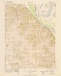
1951 · Oak Mills
USGS Topo · 1:24,000