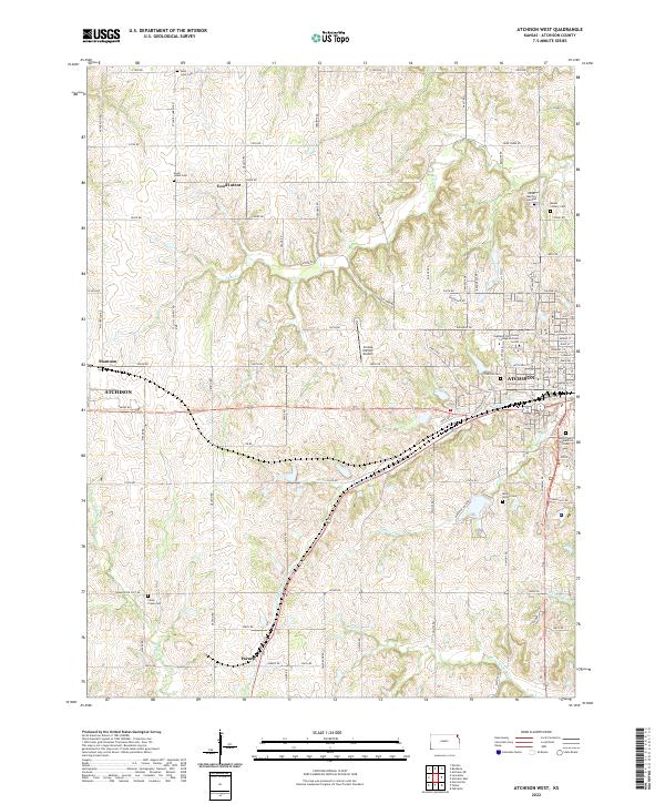
2022 Map of Atchison West
USGS Topo · Published 2022About this map
Atchison serves as the focal point of this Kansas landscape, where the western edge of the city meets the rolling prairie and numerous creek valleys. The terrain is deeply etched by watercourses including White Clay Cr, Brewery Cr, and Deer Cr, which have influenced the local road grid and settlement patterns. Notable for its high density of burial sites, the area includes Saint Louis Cem and Good Intent Cem to the north, while the city outskirts host Mount Calvary Cem and Mount Saint Scholastica Cem.
Find a feature on this map
61 named features on this map. Tap any name to fly to it.
Don’t see what you’re looking for? This feature index may not catch every label — zoom into the map to look around manually.
Map Details
Editions of this 2022 Atchison West Map
This is the sole edition of this map. No revisions or reprints were ever made.
Other maps of this area

1885 · Atchison
USGS Topo · 1:125,000

1886 · Oskaloosa
USGS Topo · 1:125,000

1888 · Oskaloosa
USGS Topo · 1:125,000

1888 · Atchison
USGS Topo · 1:125,000

1893 · Atchison
USGS Topo · 1:125,000

1894 · Oskaloosa
USGS Topo · 1:125,000

1926 · Atchison
USGS Topo · 1:62,500

1948 · Oak Mills
USGS Topo · 1:24,000

1950 · Kansas City
USGS Topo · 1:250,000
1951 · Oak Mills
USGS Topo · 1:24,000