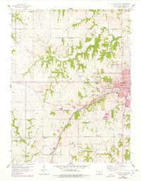
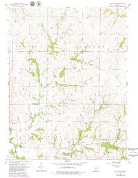
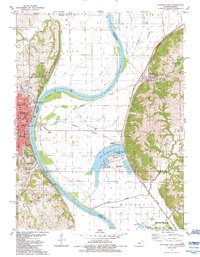
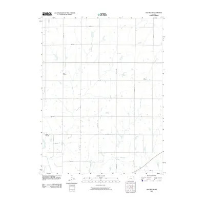
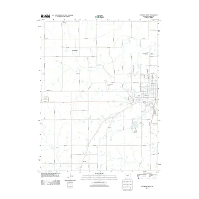
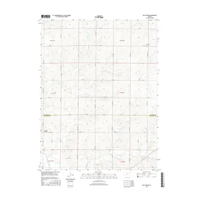
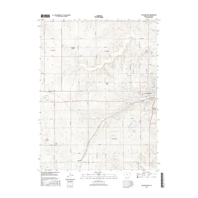
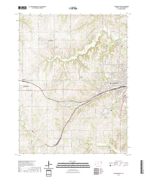
1959 Map of Atchison West
USGS Topo · Published 1978About this map
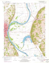
Atchison serves as the focal point for this western quadrangle, where the urban street grid of Main St and 10th St gives way to the agricultural landscape of Atchison County. The area is notable for its legacy of aviation and local education, anchored by the Amelia Earhart Airport and Amelia Earhart Stadium. The landscape is etched with the drainage patterns of White Clay Creek and Brewery Creek, with the Atchison Topeka and Santa Fe railroad cutting southwest toward Parnell.
Find a feature on this map
44 named features on this map. Tap any name to fly to it.
Don’t see what you’re looking for? This feature index may not catch every label — zoom into the map to look around manually.
Map Details
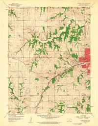
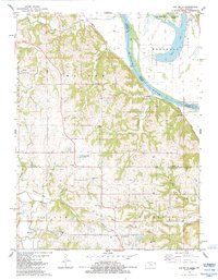
Editions of this 1959 Atchison West Map
2 editions found
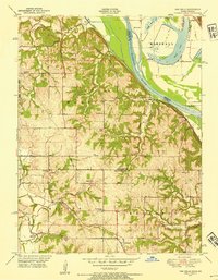
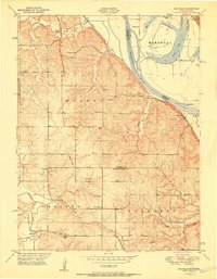
Historical Maps of Atchison Through Time
34 maps found
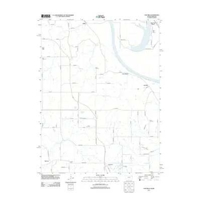
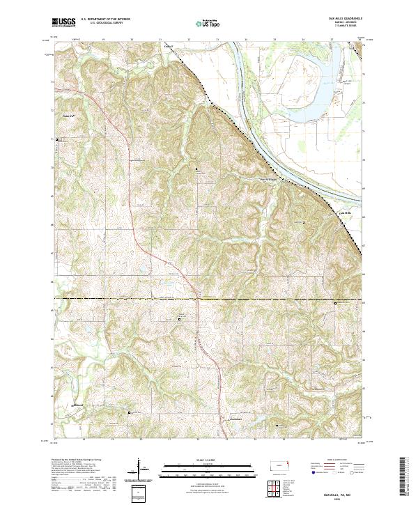
1948 Oak Mills
Atchison County, KS
1951 Oak Mills
Atchison County, KS
1959 Atchison West
Atchison County, KS
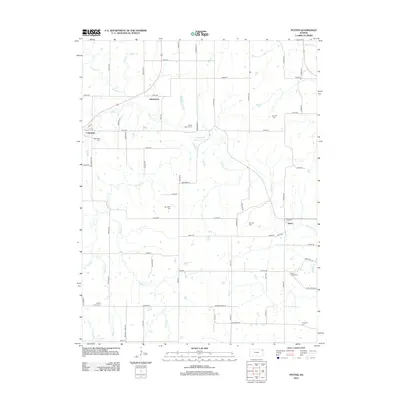
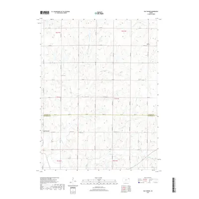
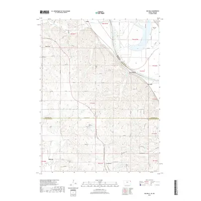
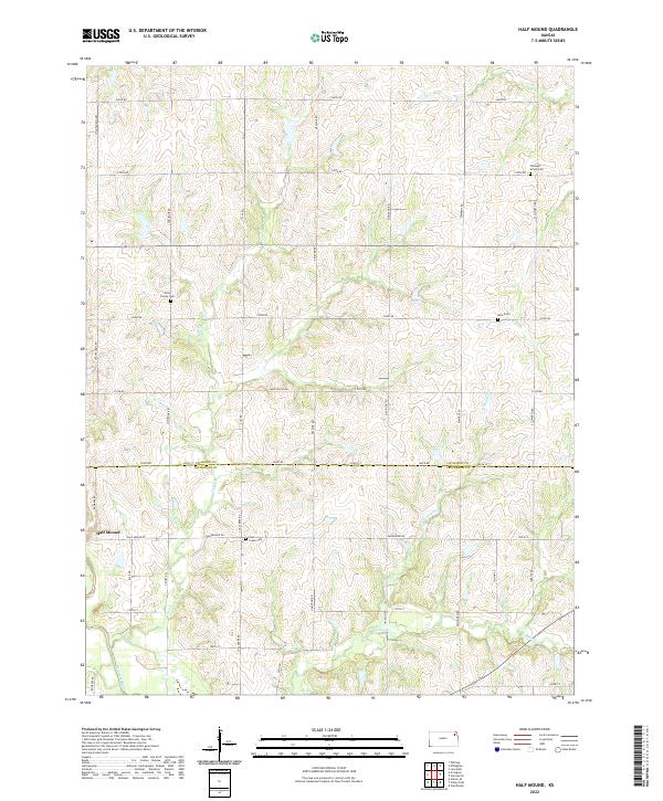
1959 Half Mound
Atchison County, KS
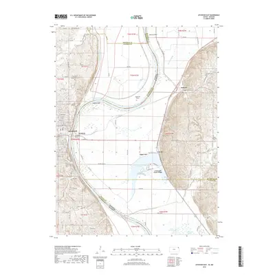
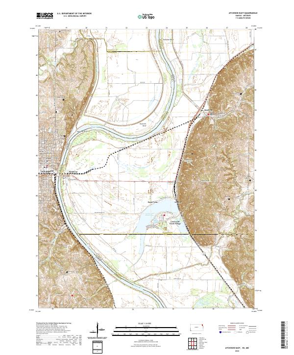
1960 Atchison East
Atchison County, KS
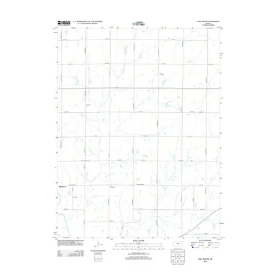
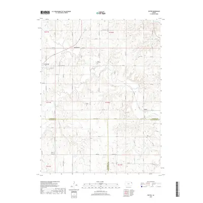
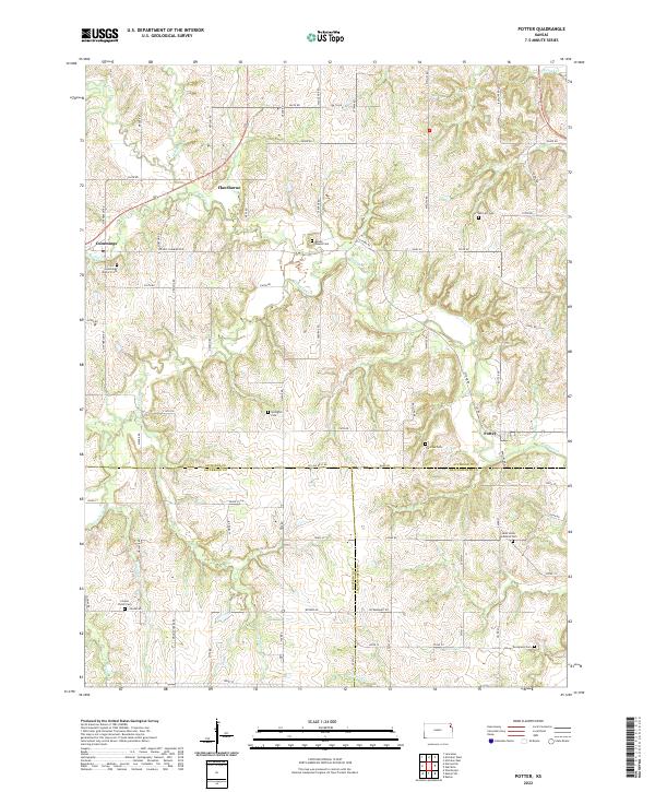
1960 Potter
Atchison County, KS
1961 Oak Mills
Atchison County, KS
1984 Atchison East
Atchison County, KS
1984 Oak Mills
Atchison County, KS
2009 Atchison East
Atchison County, KS
2009 Atchison West
Atchison County, KS
2009 Half Mound
Atchison County, KS
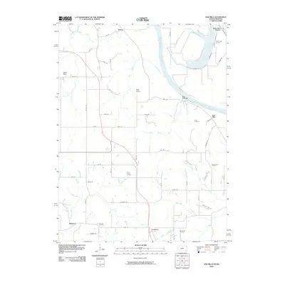
2009 Oak Mills
Atchison County, KS
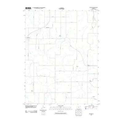
2009 Potter
Atchison County, KS
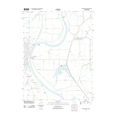
2012 Atchison East
Atchison County, KS
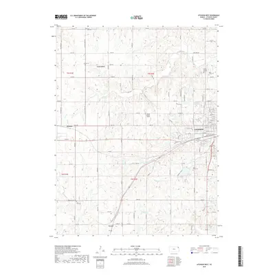
2012 Atchison West
Atchison County, KS
2012 Half Mound
Atchison County, KS
2012 Oak Mills
Atchison County, KS
2012 Potter
Atchison County, KS
2015 Half Mound
Atchison County, KS
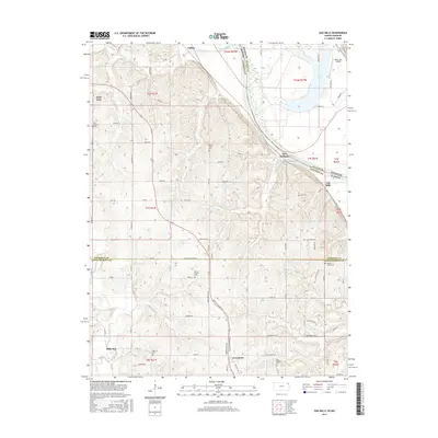
2015 Oak Mills
Atchison County, KS
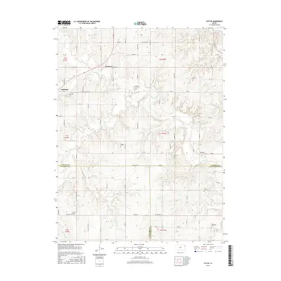
2015 Potter
Atchison County, KS
2016 Atchison East
Atchison County, KS
2016 Atchison West
Atchison County, KS
2018 Atchison East
Atchison County, KS
2018 Atchison West
Atchison County, KS
2018 Half Mound
Atchison County, KS
2018 Oak Mills
Atchison County, KS
2018 Potter
Atchison County, KS
2022 Atchison East
Atchison County, KS
2022 Atchison West
Atchison County, KS
2022 Half Mound
Atchison County, KS
2022 Oak Mills
Atchison County, KS
2022 Potter
Atchison County, KS
Featured Locations
- Atchison, KS
- Mount Pleasant Township, KS
- Shannon Township, KS
- Shannon, Lancaster Township
- Good Intent, Shannon Township