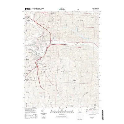
2013 Map of Athens
USGS Topo · Published 2013About this map
Athens dominates the central landscape of this survey, where the Hocking River carves a path through the southeastern Ohio hills. The city's identity as a center of education and institutional history is clearly visible, with the Ohio University Main Campus and Peden Stadium appearing alongside complex medical grounds like the Hospital and Mental Hospital. The residential growth of the early 21st century is evident in the many named subdivisions and heights surrounding the core, including Longview Heights, Valley View, and Pine Grove Heights.
Find a feature on this map
101 named features on this map. Tap any name to fly to it.
Don’t see what you’re looking for? This feature index may not catch every label — zoom into the map to look around manually.
Map Details
Editions of this 2013 Athens Map
This is the sole edition of this map. No revisions or reprints were ever made.
Other maps of this area

1903 · Athens
USGS Topo · 1:62,500

1904 · Chesterhill
USGS Topo · 1:62,500

1905 · Athens
USGS Topo · 1:62,500

1906 · Chesterhill
USGS Topo · 1:62,500

1907 · Pomeroy
USGS Topo · 1:62,500

1907 · Keno
USGS Topo · 1:62,500

1947 · Columbus
USGS Topo · 1:250,000

1949 · Clarksburg
USGS Topo · 1:250,000

1956 · Clarksburg
USGS Topo · 1:250,000

1960 · Albany
USGS Topo · 1:24,000