
1960 Map of Albany
USGS Topo · Published 1961About this map
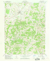
Albany sits as the primary crossroads in this 1960 survey of southeastern Ohio, where the New York Central railroad tracks cut through the township of Lee. The landscape is a complex network of narrow ridges and hollows defined by Leading Creek and the West Branch Shade River. Cultural markers of the mid-century era are prominent, including the State Agriculture Experiment Station and various industrial sites such as quarries, oil wells, and strip mines that reveal the region's extraction-based economy. For those tracing family lineage, the map identifies numerous small burial grounds and rural meeting places, from the School Lot Cem near Carpenter to Pearl Chapel and Mt Union Ch. These details, combined with mapped fence and field lines, offer a precise record of rural land use across the Athens and Meigs county border.
Find a feature on this map
52 named features on this map. Tap any name to fly to it.
Don’t see what you’re looking for? This feature index may not catch every label — zoom into the map to look around manually.
Map Details
Editions of this 1960 Albany Map
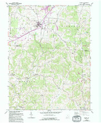
4 editions found

Other maps of this area

1903 · Athens
USGS Topo · 1:62,500

1904 · Zaleski
USGS Topo · 1:62,500

1905 · Athens
USGS Topo · 1:62,500

1905 · Wilkesville
USGS Topo · 1:62,500

1907 · Pomeroy
USGS Topo · 1:62,500

1907 · Zaleski
USGS Topo · 1:62,500

1908 · Wilkesville
USGS Topo · 1:62,500

1947 · Columbus
USGS Topo · 1:250,000

1960 · Rutland
USGS Topo · 1:24,000
1960 · Pomeroy
USGS Topo · 1:24,000