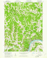
1960 Map of Pomeroy
USGS Topo · Published 1961About this map
Industrial activity and river commerce define the landscape of Pomeroy and Middleport during the early 1960s. The Ohio River serves as the primary corridor for a complex transport network where the New York Central, Baltimore and Ohio, and Chesapeake and Ohio railroads converge to support the regional coal economy. Extensive strip mines and numerous mines dot the hillsides, particularly along Strip Mine Run and Thomas Fork, illustrating the heavy extraction that shaped the terrain. Beyond the riverfront industry, the map documents a settled rural community through its network of schools and churches, such as Wahama High School and Sacred Heart Church. Local landmarks like the County Fairgrounds and the Drive-in Theater near Adamsville provide a look at mid-century social life in Meigs and Mason Counties.
Find a feature on this map
79 named features on this map. Tap any name to fly to it.
Don’t see what you’re looking for? This feature index may not catch every label — zoom into the map to look around manually.
Map Details
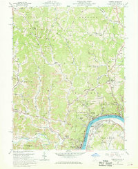
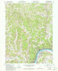
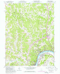
Editions of this 1960 Pomeroy Map
4 editions found
Other maps of this area

1907 · Pomeroy
USGS Topo · 1:62,500

1907 · Keno
USGS Topo · 1:62,500

1908 · Ravenswood
USGS Topo · 1:62,500

1908 · Point Pleasant
USGS Topo · 1:62,500

1926 · Ravenswood
USGS Topo · 1:62,500

1926 · Point Pleasant
USGS Topo · 1:62,500

1928 · Ravenswood
USGS Topo · 1:62,500

1929 · Point Pleasant
USGS Topo · 1:62,500

1947 · Columbus
USGS Topo · 1:250,000

1949 · Clarksburg
USGS Topo · 1:250,000